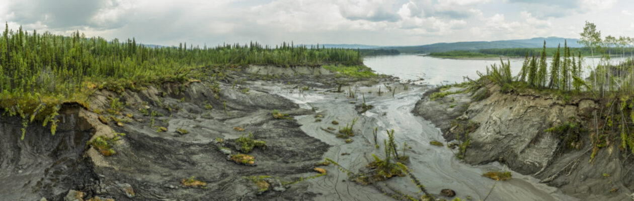
Where the Ground Gives Way
A Field Visit to Haggart Creek with Yukon Seed and Restoration
Written by Hannah Hofsink with photos by Hannah | September 8, 2026
Through a seemingly quiet valley, Haggart Creek winds a faint ribbon on the traditional territory of First Nation of Na-Cho Nyäk Dun (FNNND). Its waters flow into the South McQuesten River, which hosts a grayling fishery that FNNND citizens have relied on for generations. Chinook and chum salmon spawn in these waters too, making the McQuesten one of the most important salmon tributaries in the broader watershed.
These lands and waters have also carried the weight of mining for over a century, from historic silver mining near Elsa which poisoned fish downstream in the 1950s, to decades of placer mining throughout the watershed. Two years ago, a heap leach failure at Victoria Gold’s Eagle Mine released over 300,000 cubic meters of cyanide-contaminated water into the watershed; a devastating blow to Haggart Creek with consequences felt across the Yukon. Now the creek also faces wildfires, thawing permafrost, and landslides. In July 2026, I had the chance to join some of the dedicated people who are showing up for the land.
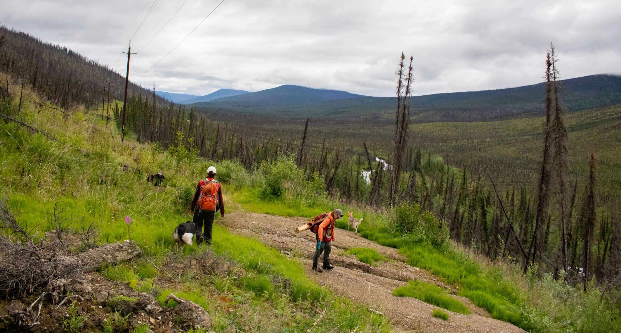
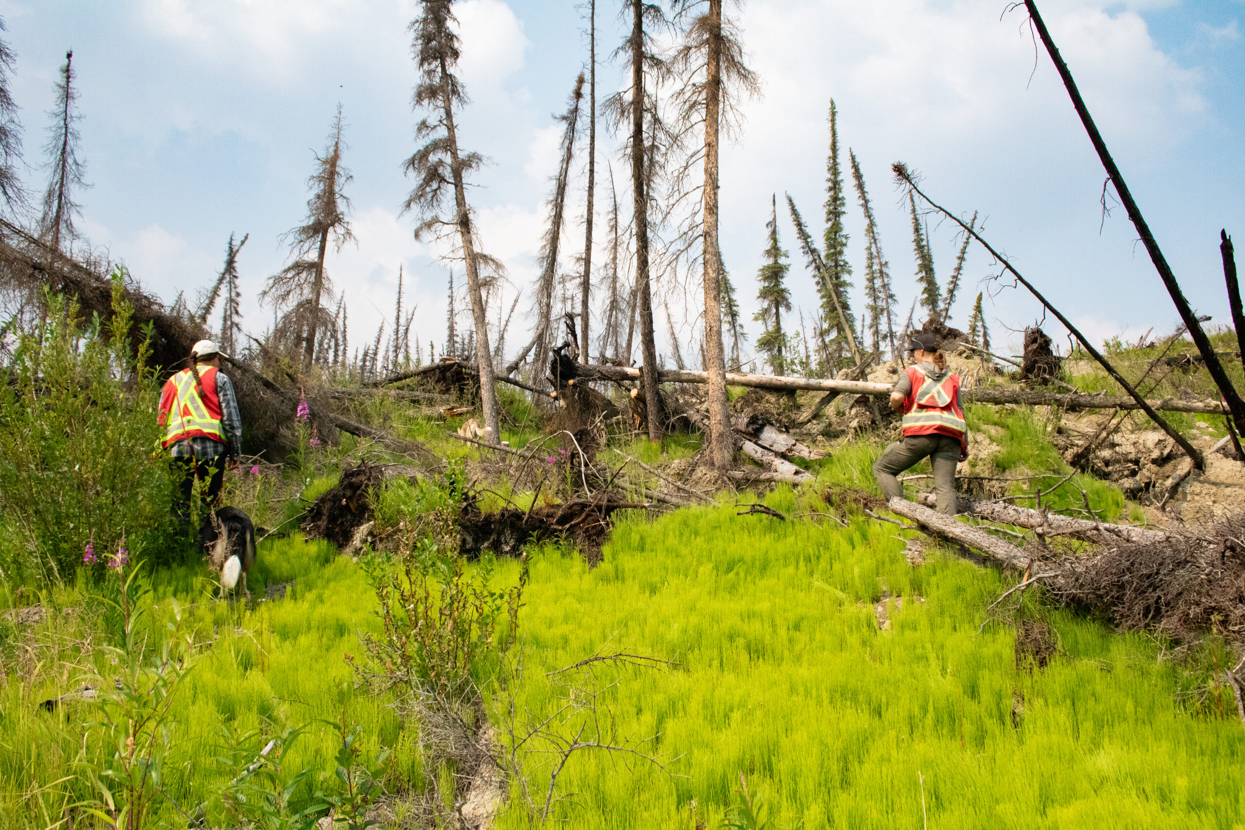
I headed out with Naomi Butterfield and Clara Reid from Yukon Seed and Restoration (YSR) on a site visit to their Haggart Creek project area, where we saw past restoration work and how they plan for new sites. YSR is primarily owned by Na-Cho Nyäk Dun Development Corporation and has a team of restoration ecologists and technicians who work to restore land damaged by wildfire, mining, and erosion across the territory.
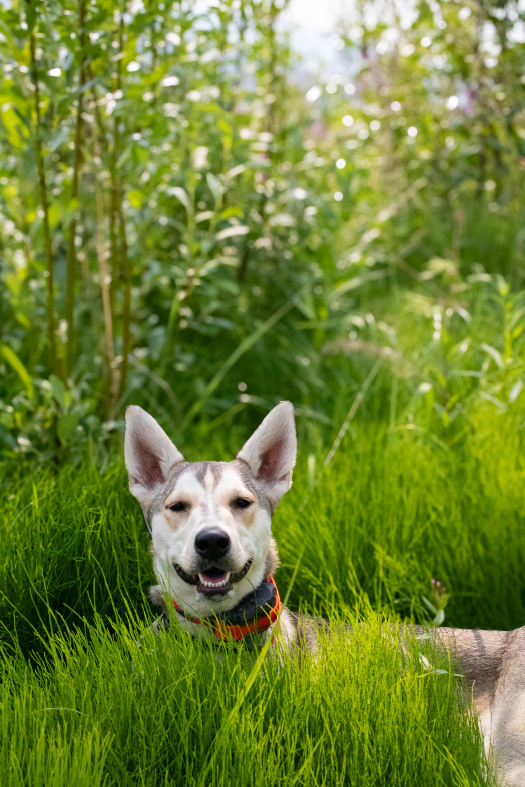
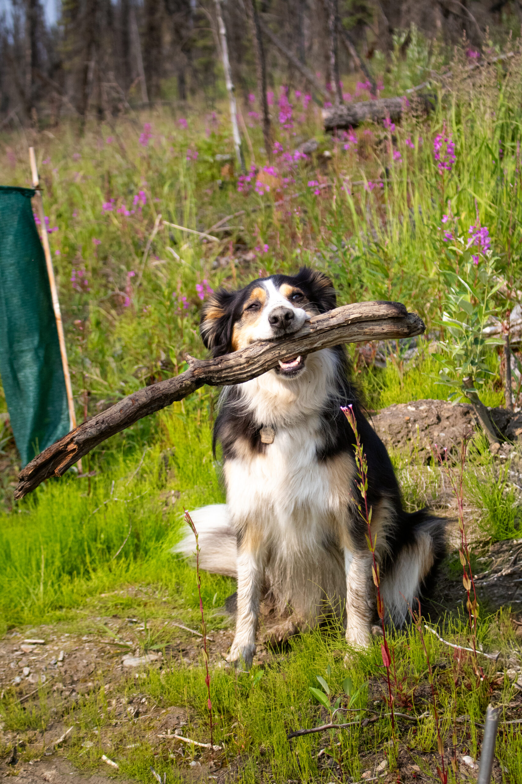
Two of the best field dogs around came along too, and probably enjoyed the trip more than any of us!
In this area, landslides are becoming more common, particularly a fast-moving type of landslide that happens in permafrost regions. Permafrost is ground that stays frozen year after year. Every summer, the top layer of soil thaws while the ground underneath stays frozen solid.
Fire changes that balance. It burns the moss and plants that insulate the frozen ground, and the trees whose roots would otherwise anchor the soil in place. Without that protection, thaw reaches deeper than normal. With nothing left to hold the land together, it becomes unstable. This kind of rapid, permafrost-driven landslide is called active layer detachment or slumping.
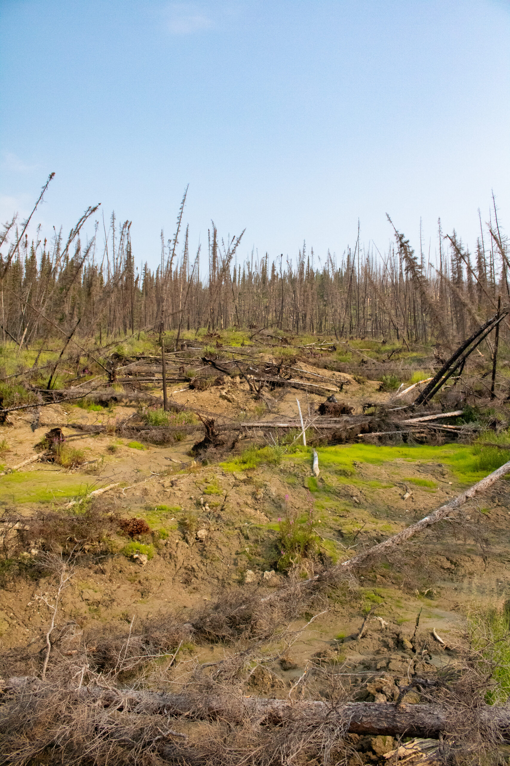
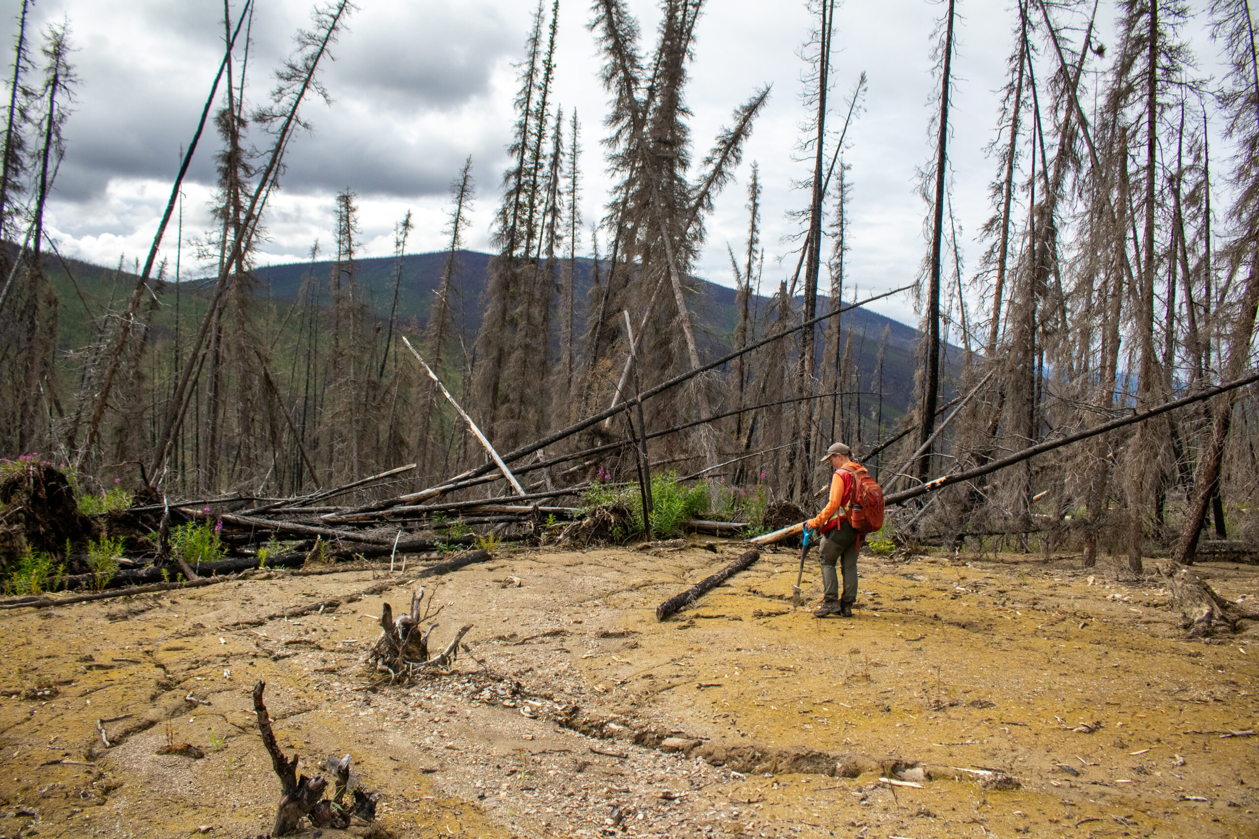
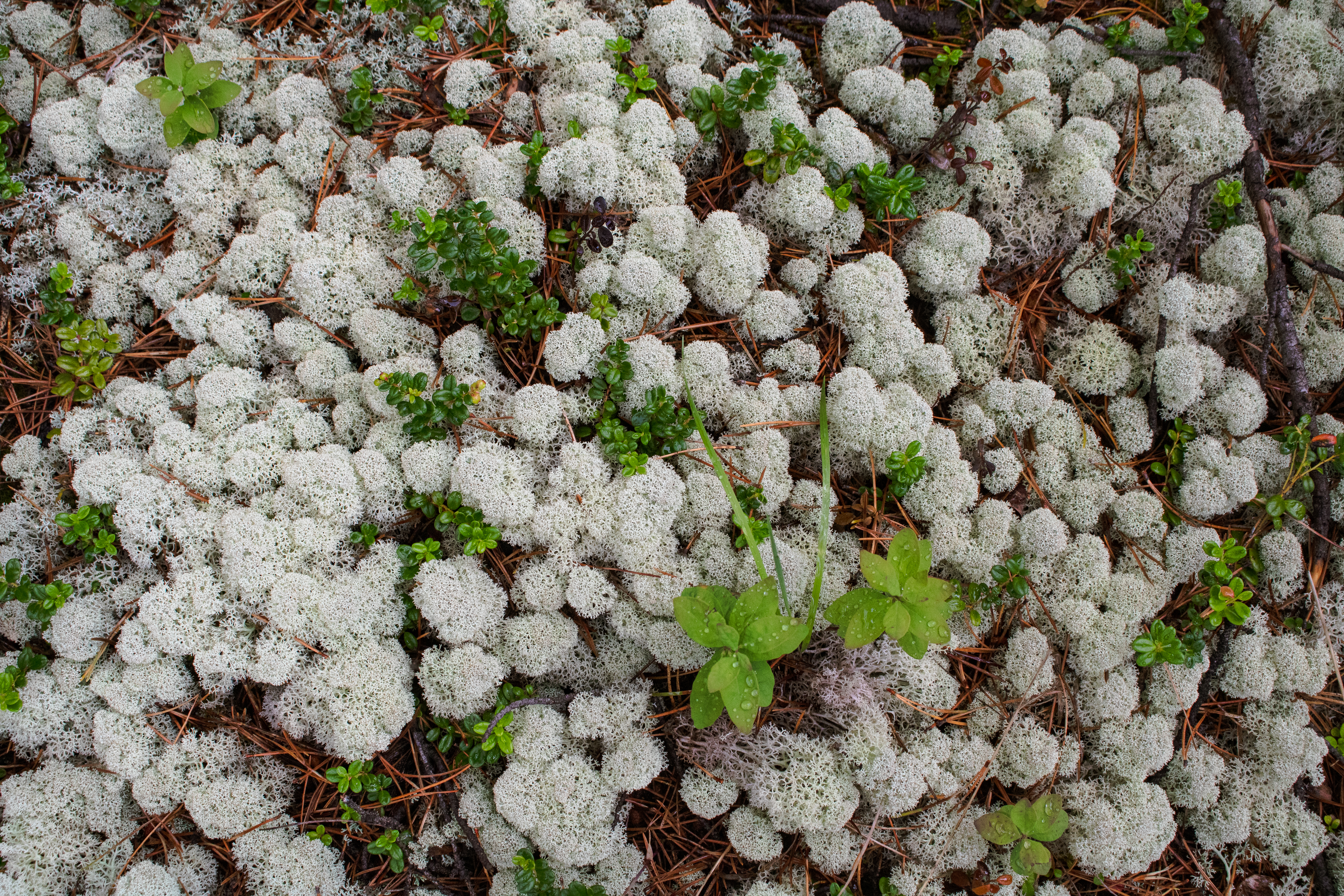
My undergrad research looks at wildfire and permafrost thaw dynamics, so getting to see those processes play out somewhere new felt like stepping straight into my own research. Throughout the summer, I have also been putting together a field guide to lichens and mosses and learning how much they matter for insulating the permafrost below. Seeing that connection in person and what happens when that protection is lost hits differently than reading about it ever could. It’s one thing to know the theory, and another to stand in a place where it is happening.
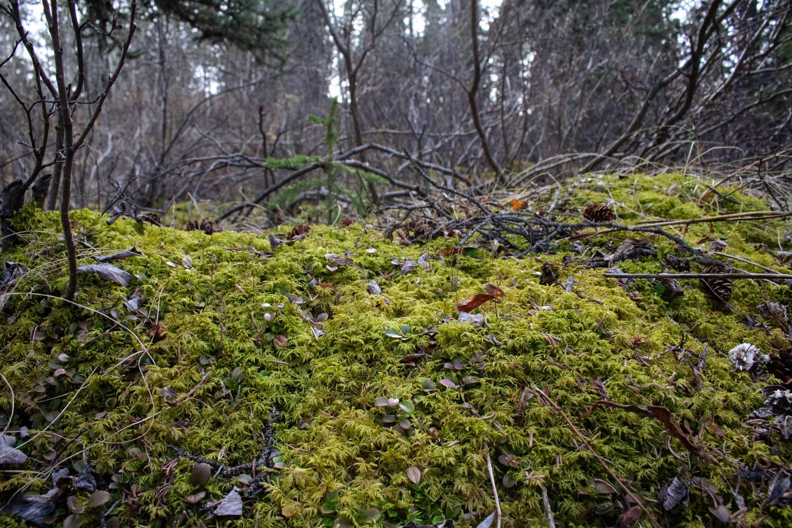
On slopes, eventually the thawed soil layer can slide over frozen permafrost, exposing soil hasn’t seen daylight in years. Standing on one of these slide scars, it was hard not to think about how long it took to build that ground cover in the first place. And how fast it disappeared after a wildfire moved through the area in 2023. Water that used to soak into that spongy cover now cuts new channels downhill instead, carrying sediment into Haggart Creek and smothering fish eggs and the other creatures that live there.
Aerial view of Haggart Creek, photo by Malkolm Boothroyd.
These waters have already been through so much since the Eagle Mine Disaster began, with impacts that extend beyond the creek and its wildlife. As FNNND has said, “When a part of our lands and waters is harmed, we all feel that pain.”¹ Given the Nation’s deep connections to the area, they were quick to notice the landslides and changes in sediment, and asked YSR to help find a solution.
YSR’s approach includes many erosion control measures and tree planting: Willow staking takes advantage of the fact that willows root so easily that a cut branch pushed into the ground will often take hold and grow on its own. Live fascines and wattle fences are woven from that same living willow, so that while they hold the slope together, they’re also becoming a part of it. Sediment logs act like fallen logs and debris you’d naturally find in forests, slowing water on an undisturbed hillside, just placed intentionally by people rather than by natural processes. These techniques help new roots take hold, stabilize the slope, and limit the amount of sediment that flows into the creek.
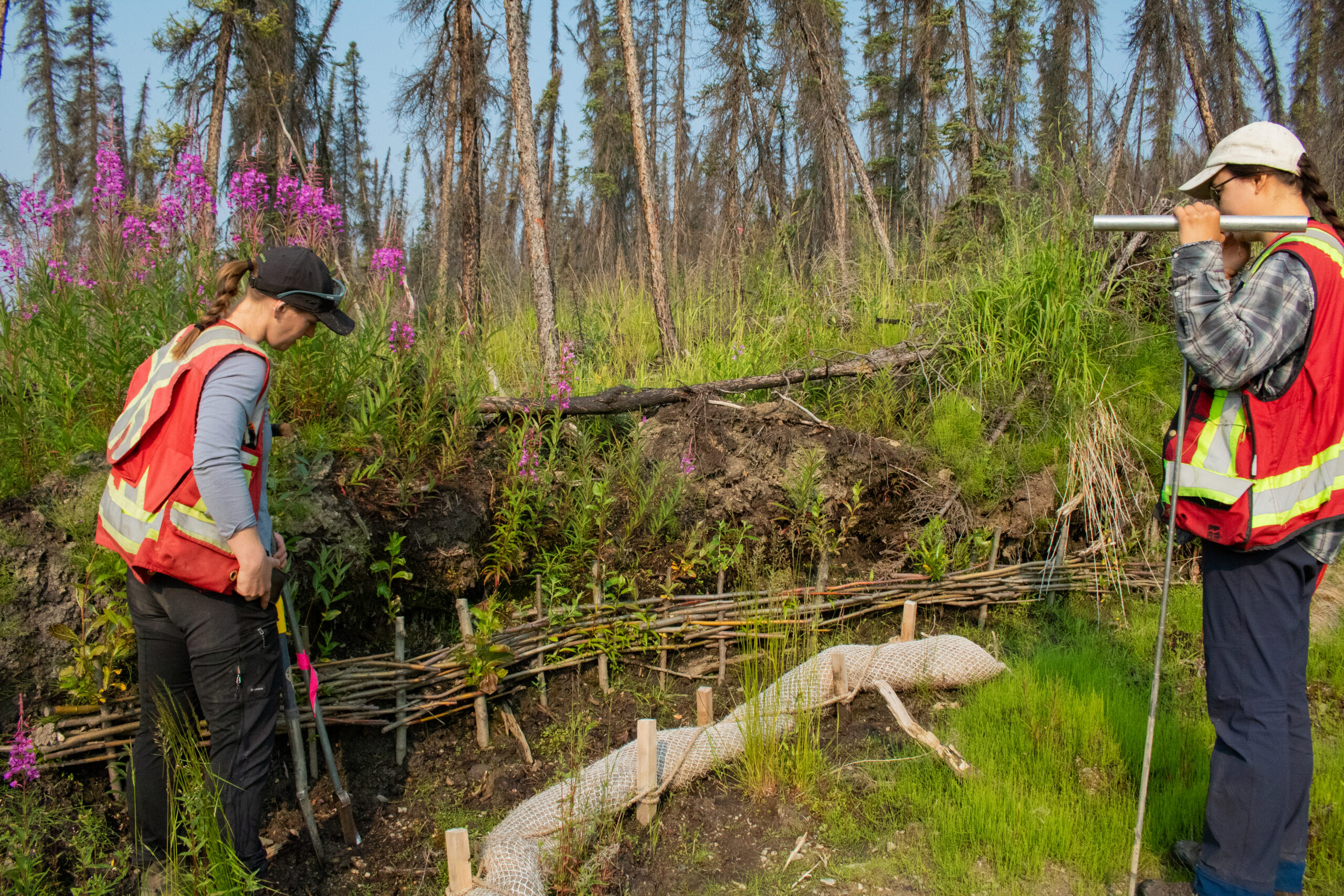
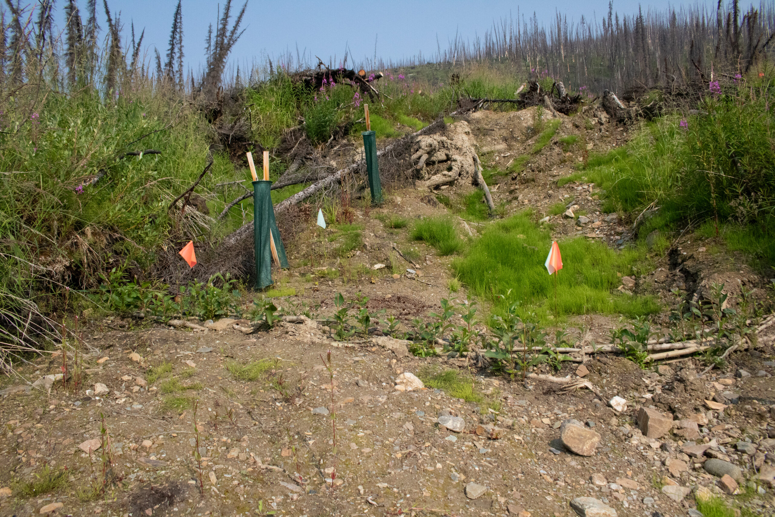
During our time in the field, we flagged boundaries for where new trees will be planted and checked in on restoration work from past seasons to see how the land is responding. Along the slope, birch saplings grew tall, and older fascines and wattle fences had sprouted new growth of their own. The sediment logs were holding in place too, catching loose soil before it could reach the creek.
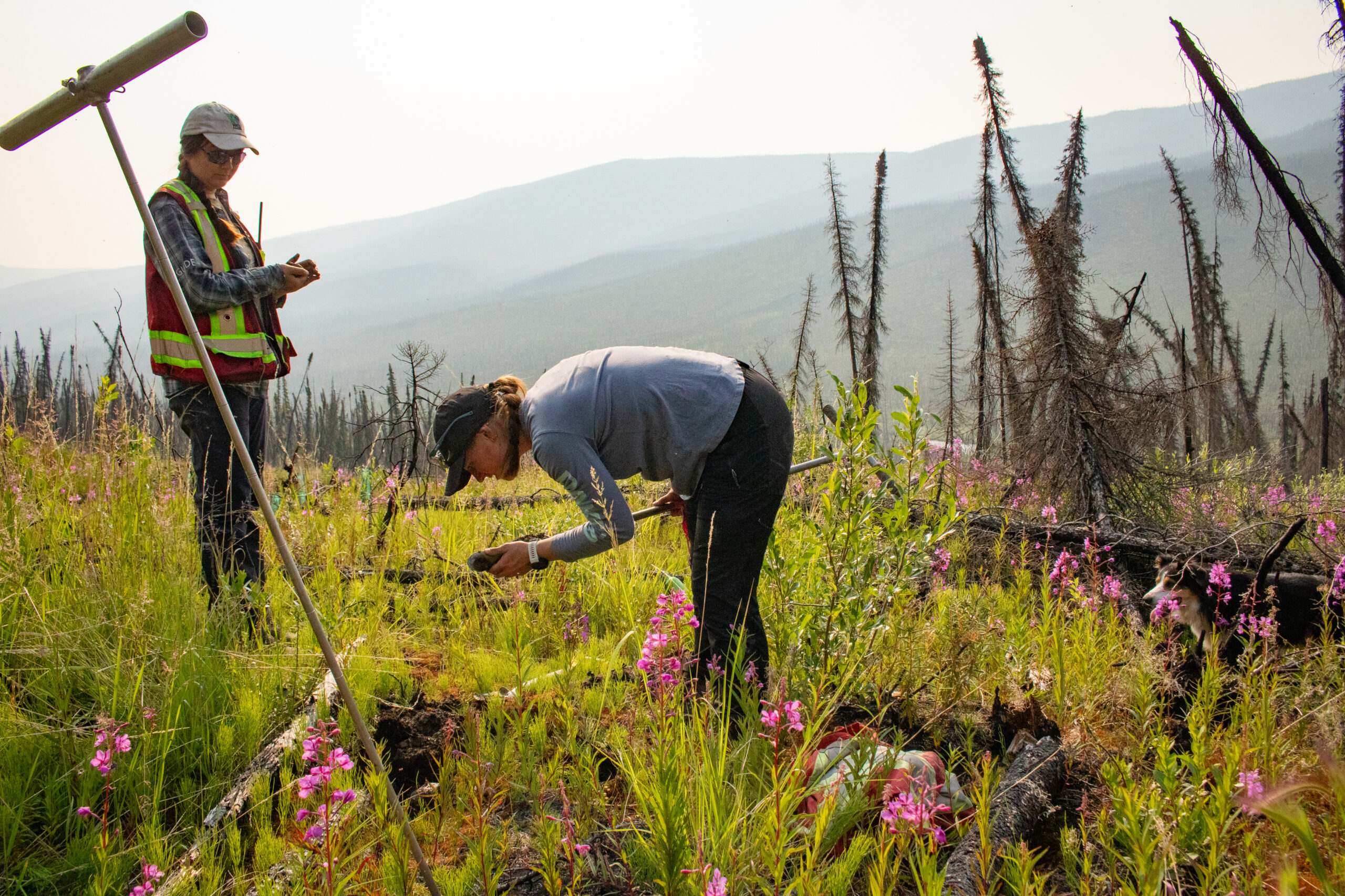
Our group also had some fun digging down to reach the permafrost just beneath the surface during soil sampling. Let’s be real, feeling freezing cold soil when it‘s 25°C out is just cool! We’re all ecology nerds, so we were pretty excited to reach into a hole and feel nothing but ice. It was almost unbelievable.
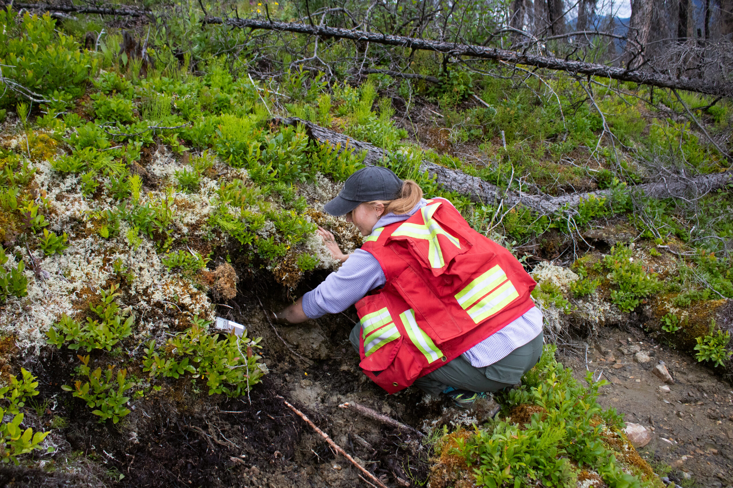
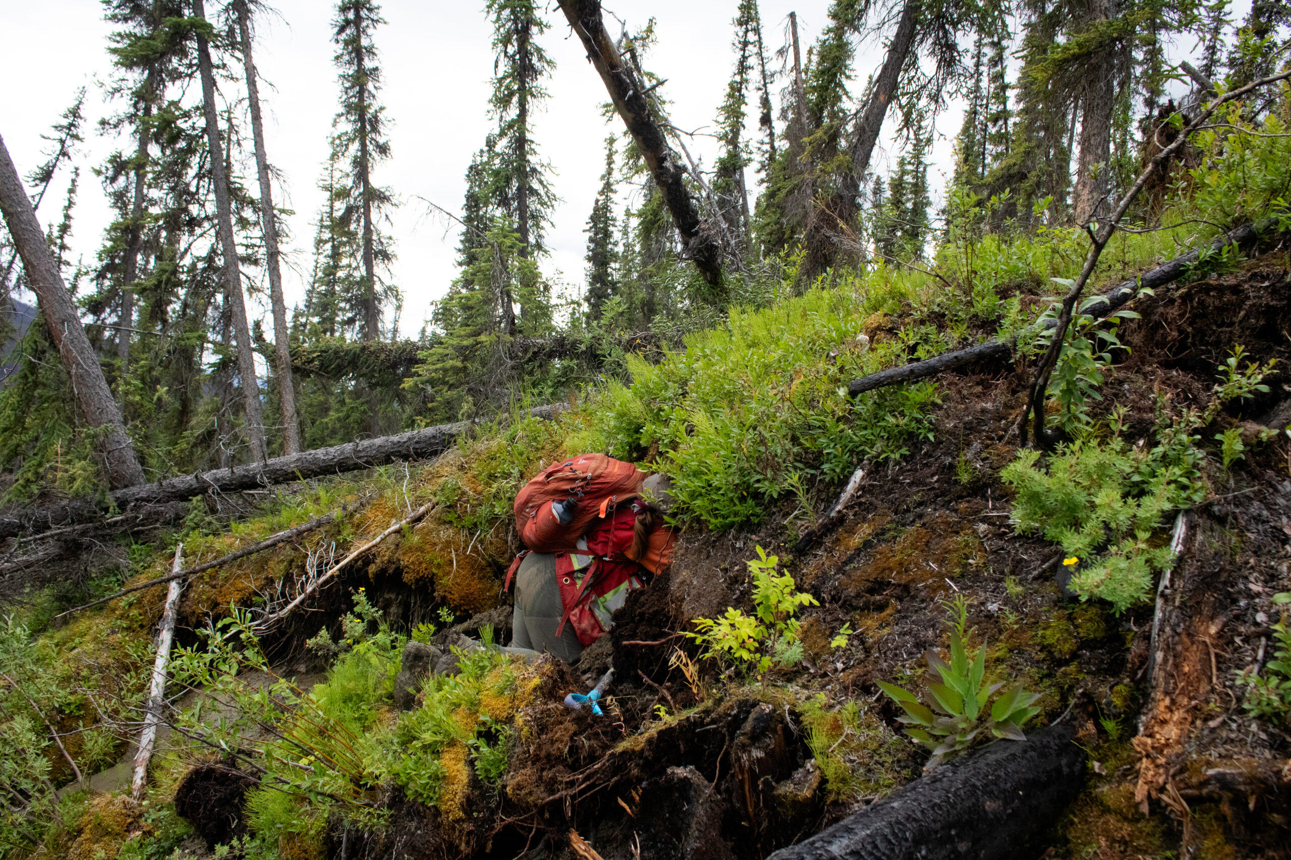
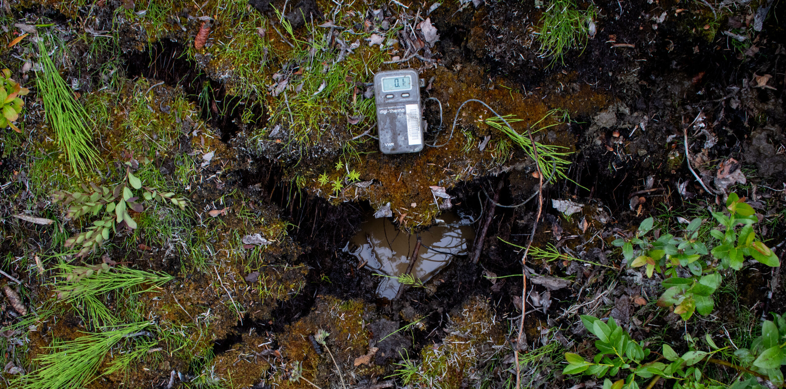
The temperature probe backed up what we’re feeling, with readings around or below freezing just beneath the surface.
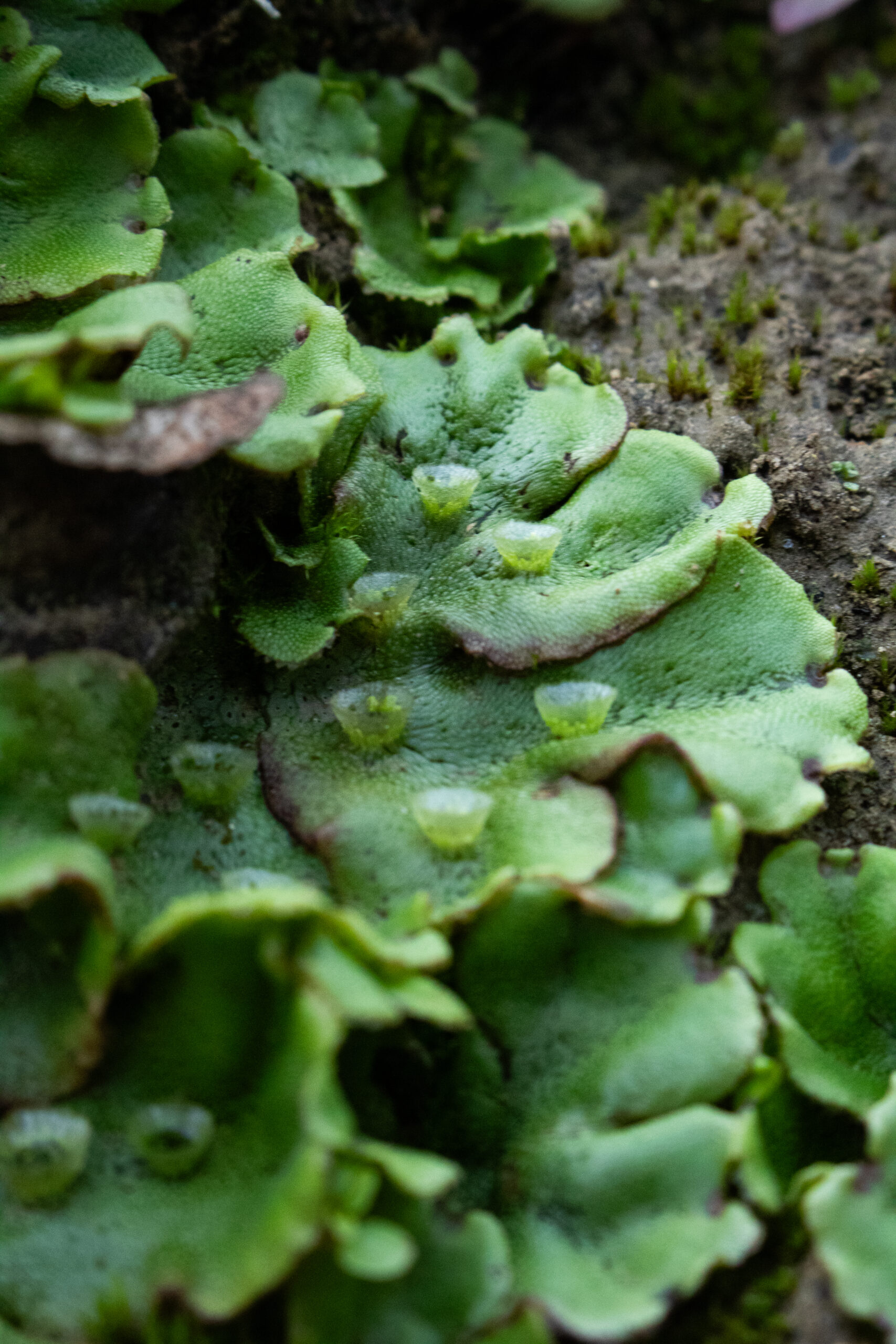
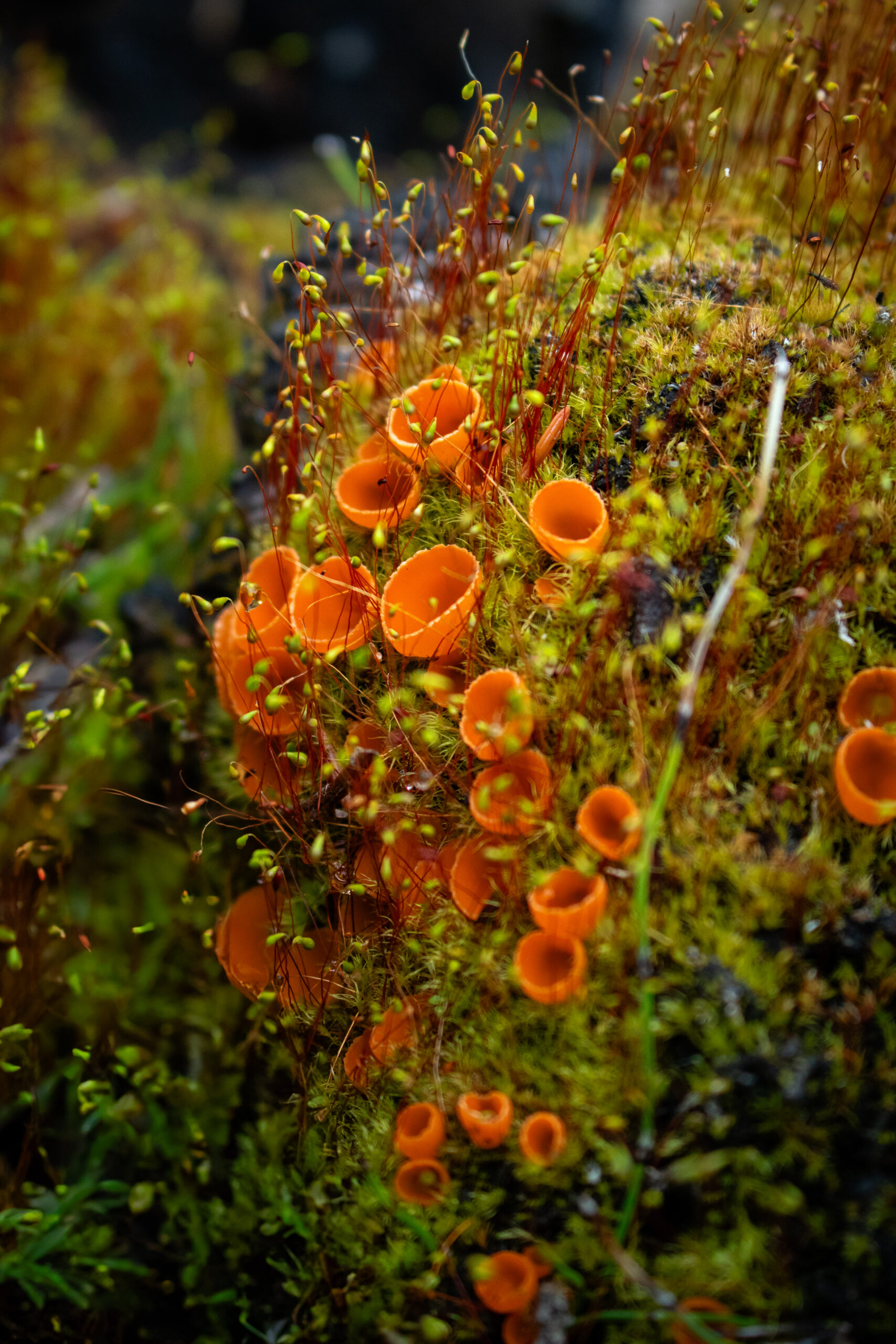
One day it rained a little, and the whole valley smelled like wet earth and faint traces of char at the same time. Birds chirped in the distance. Bright orange fire fungus formed cup-like blobs against the charred ground. Its spores can lie dormant in soil for decades, waiting for the next fire. Green liverwort blanketed the burned soil, helping to stabilize the ground and cycle nutrients back into the recovering ecosystem. Even in a landscape this disturbed, we noticed signs of life returning everywhere.
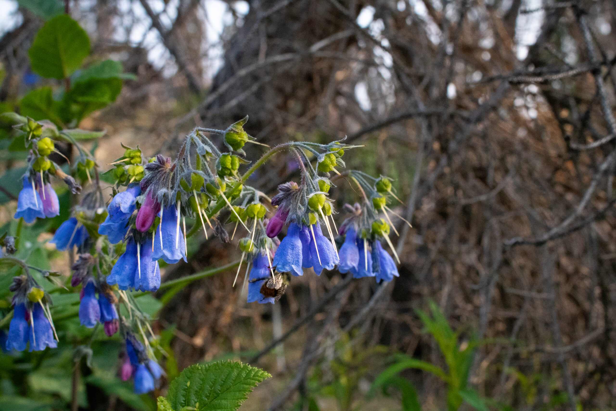
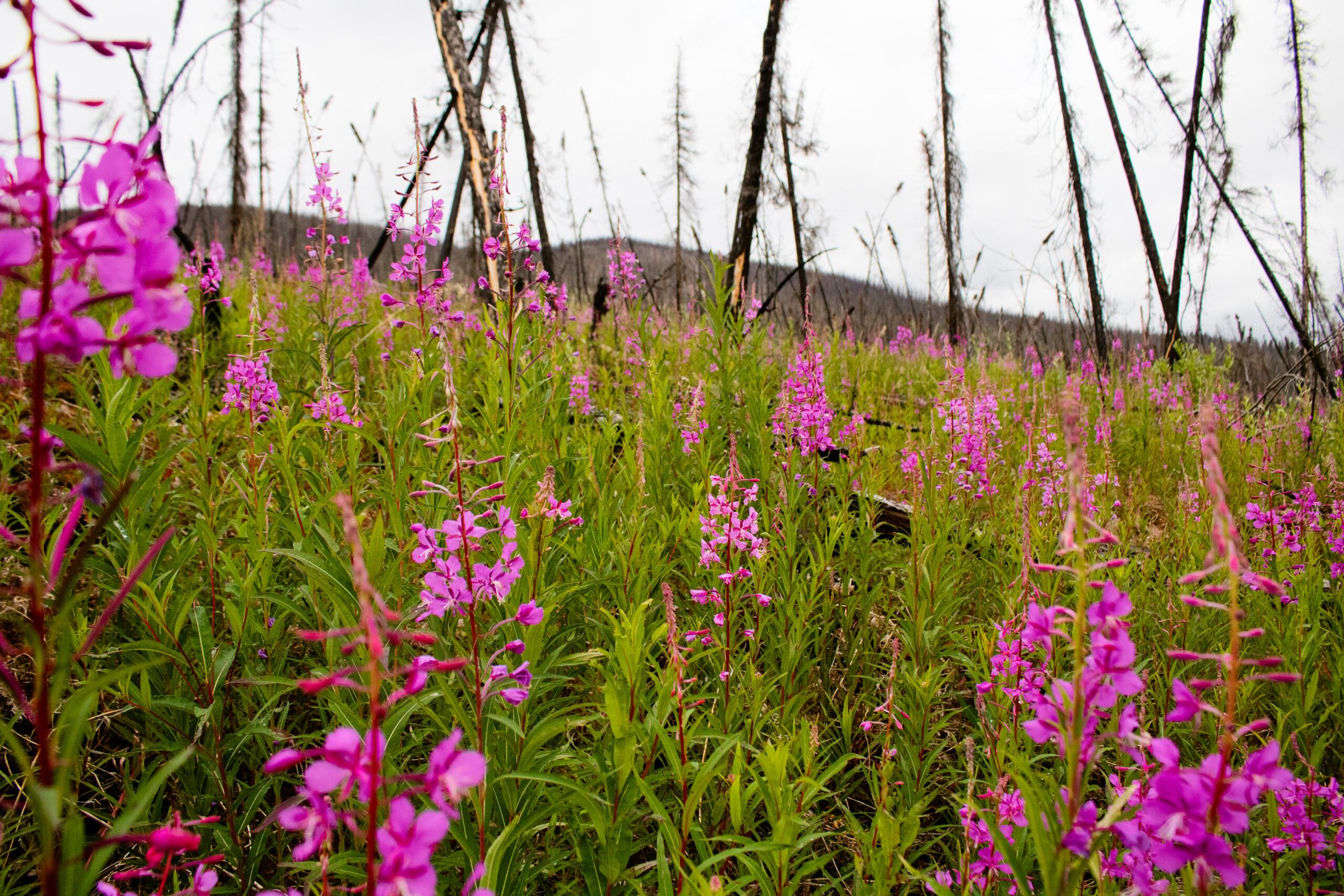
Flowers establish quickly after a fire too. Tall bluebells dotted the landscape, while fireweed painted hillsides bright pink.
Moss, horsetails, lichens, insects, and wildlife were already returning, filling the charred landscape with life. None of this means the creek no longer needs care, but it’s a reminder that recovery is happening, one season at a time, alongside the people who keep showing up for the land.
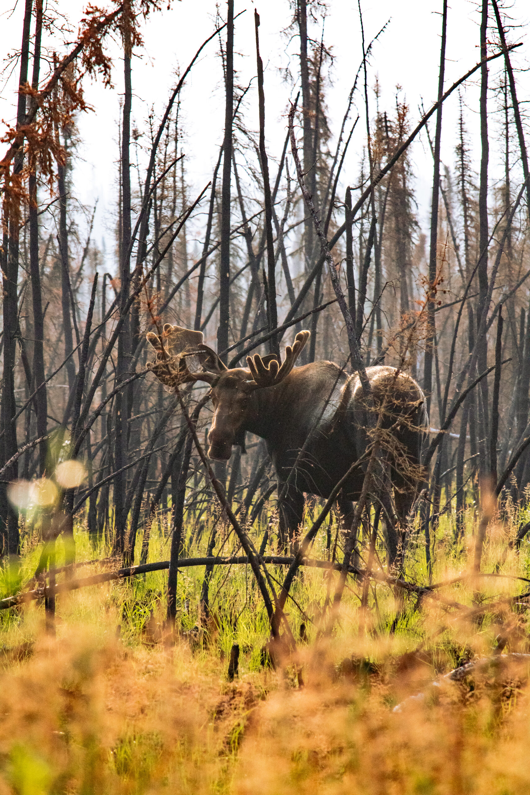
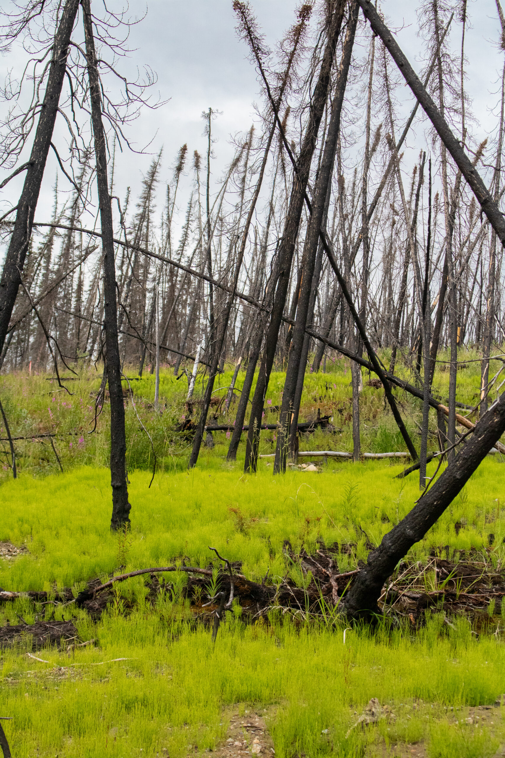
Landscapes like this one are resilient. Given time and effort, they find ways to come back. But recovery and restoration shouldn’t be the whole plan.
Haggart Creek is dealing with two crises. First, the ongoing fallout from the Eagle Mine Disaster threatens to continue contaminating nearby waters and requiring costly, long-term clean-up. Second, climate change is increasing the frequency and severity of wildfires, which in turn drives more of the landslides we saw firsthand. At their core, both crises point to the same problem: decisions being made without putting people, the land, and long-term planning first. That’s why it’s important to push for stronger protections and better decision-making before damage happens, not after.
CPAWS Yukon has joined the First Nation of Na-Cho Nyäk Dun in calling for a public inquiry into the Eagle Mine Disaster. As regional planning moves forward in the Stewart Watershed, all Yukoners will soon have the opportunity to help shape the future (and healing) of the region. Both are real chances to steward and protect places like Haggart Creek for the long term. Learn more at cpawsyukon.org/stewart-watershed.
Thank you to Yukon Seed and Restoration for all the important work you are doing, and for inviting me to join. To learn more about YSR’s important work, visit www.yukonseed.ca.