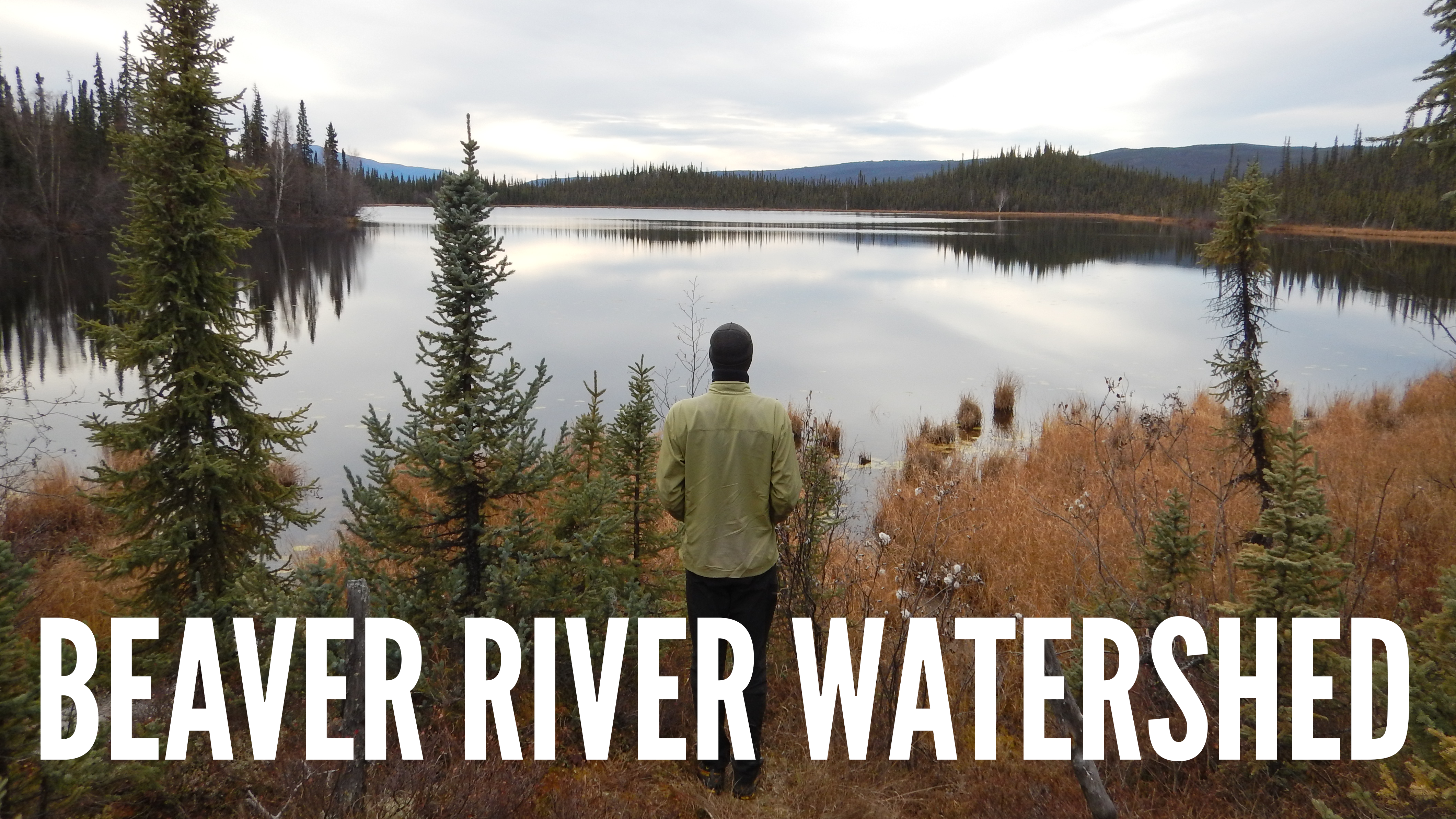
Photo credit: Randi Newton
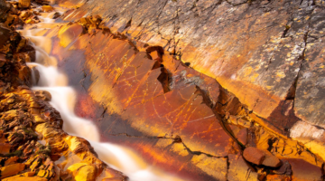
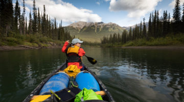
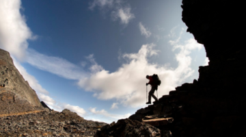
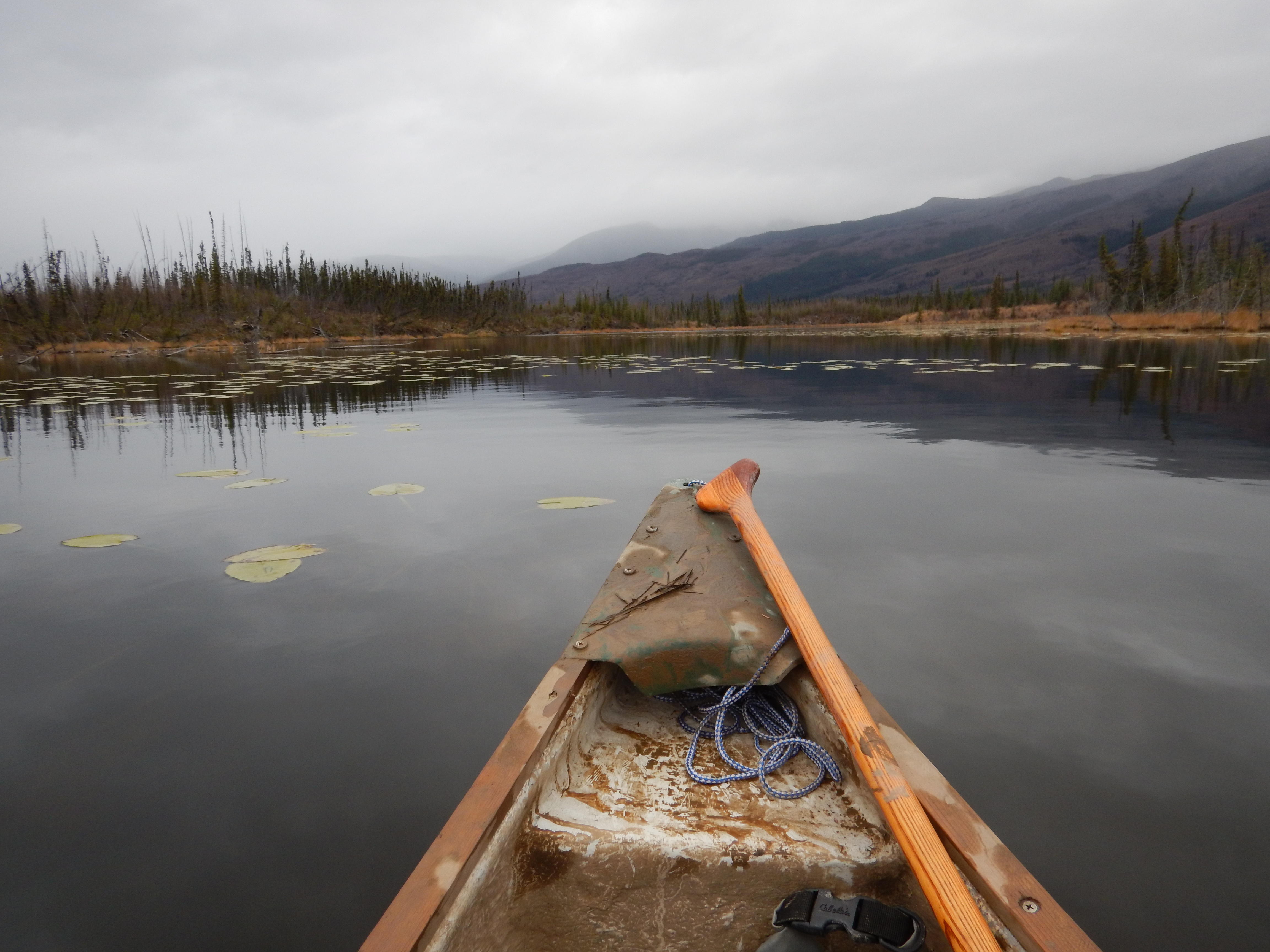
The undeveloped wild spaces of the Beaver River Watershed provides vital habitat for moose, wolves, grizzly bears, river otter, Chinook salmon, and trumpeter swans. The Beaver and Rackla Rivers twist and turn through the hummocky landscape as they make their way to meet each other, and eventually into the Stewart River. The diverse landscape falls within the traditional territory of the First Nation of Na-Cho Nyäk Dun, and it’s marked with wetlands and small lakes, as well as dramatic alpine passes.
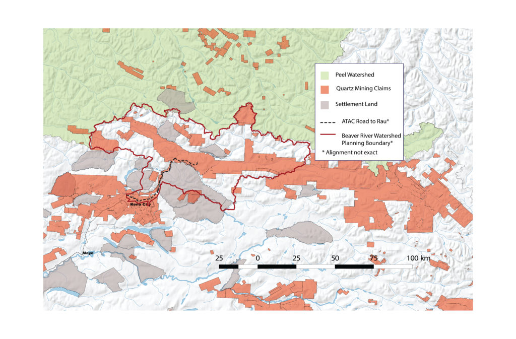
Perched just below the Peel Watershed, up until now this wilderness has largely escaped the mining activity that’s scarred so many of the landscapes north of Mayo.
A watershed on the brink of change
ATAC Resources, a mining company based in British Columbia, is trying to build a 65 km mining exploration road through the heart of the Beaver River Watershed. The proposed road would cut through key winter habitat for moose and cross 73 rivers and streams, including spawning grounds for Chinook salmon.
Even worse, the road is likely only the start of what will become a spider’s web of roads and trails. From where the proposed road ends, mining claims actually extend eastward for over a hundred kilometres. It is only a matter of time before mining companies try to extend the road to access these claims. Click here to learn more.
Securing a strong future for the Beaver River Watershed
Fortunately, Yukon Government and the First Nation of Na-Cho Nyäk Dun have agreed that a land use plan for the Beaver River Watershed must be in place before construction of the road can be authorized. This plan is at the very beginning stages and your voice is needed to ensure the plan reflects what Yukoners value.
Most importantly, this plan needs to be more than a check in the box or it will be a disservice to the region and the people who care about it.
Take Action for the Beaver River Watershed
What do you want the future of the Beaver River Watershed to look like?
We hope that the Beaver River Watershed remains unspoiled for generations to come. We picture thriving populations of moose, grizzly bears, and salmon. We picture a watershed where people continue to teach younger generations to paddle, hunt, fish, and trap.
CPAWS Yukon does not support development of the all-season exploration road through the intact watershed.
What advice would you give the Planning Committee as they develop a draft plan for the watershed?
Create a plan that’s right for the region and the vision people have for it. The plan should set out a long-term, sustainable vision for the land. It should not be limited by a proposed road designed for short-term gain, that may never get built because of market forces.
Fill critical information gaps on fish and wildlife. Right now we are missing critical information on species like moose, grizzly bears and Chinook salmon. Without this information, we don’t know how development could impact these species, and it’s difficult to create a plan that protects them and their habitat.
Anticipate cumulative effects and set limits on development. The plan should set limits on development to ensure it doesn’t put unsustainable pressure on the environment and wildlife.
Wait for Resource Road regulations to be finalized. ATAC Resources has proposed to gate the road and make it private to prevent overuse and increased hunting pressure. However, until Yukon Government finalizes the territorial Resource Road Regulations, we don’t know if the road can be managed as promised.
Protect ecologically and culturally important areas. Once we’ve filled information gaps, the plan should protect areas that sustain the watershed’s ecological and cultural values, including its many wetlands.

