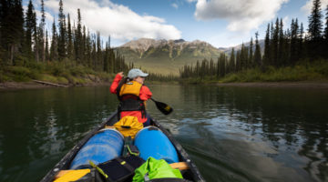
Header Image: Peter Mather
A pathway for protecting wild spaces
The Yukon is home to some of the largest unspoiled natural areas in the world. We have the rare opportunity to protect intact wilderness for today and future generations. But we can’t take Yukon’s wild spaces for granted.
Development, resource extraction and roads are already expanding into once remote areas. Without proactive planning, over time Yukon’s wilderness will be carved up or lost, as has happened in countless places in southern Canada and around the globe. Fortunately, land use planning is a powerful tool to create a sustainable future for the territory’s lands, waters, wildlife and people.
The purpose of land use planning is to provide a vision and a roadmap for protecting, using, and managing land and resources. Plans provide a framework for future development decisions and they chart the course for protecting wild spaces. They can protect areas that are ecologically or culturally important, and set common-sense limits on development.
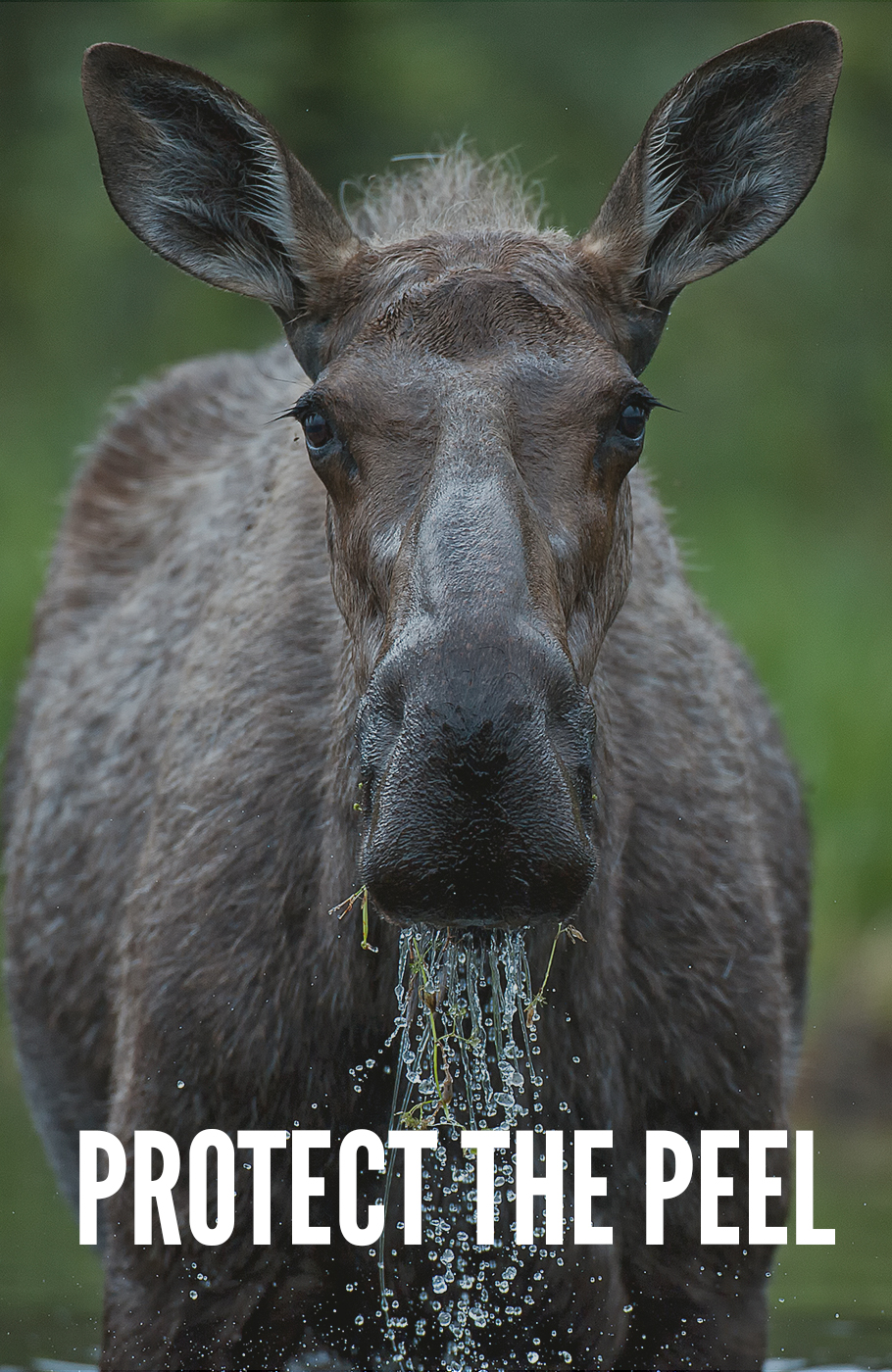
Land use planning takes place at many scales in the Yukon, from community neighbourhoods to entire regions, like the Peel Watershed.
Our Goal
Land use planning goes hand in hand with protecting Yukon’s wilderness. It’s how most future protected areas in the territory will be created. Every plan is an opportunity to set aside wild spaces where wildlife can roam and people can connect with the land.
As Yukon’s voice for wilderness, CPAWS wants to ensure that land use planning reflects ecological and cultural values, is informed by Indigenous and scientific knowledge, and protects important wild spaces. Planning must account for the clean air, water and habitat that wilderness secures for Yukoners, and the options that protected areas provide for future generations.
Land use planning in the Yukon
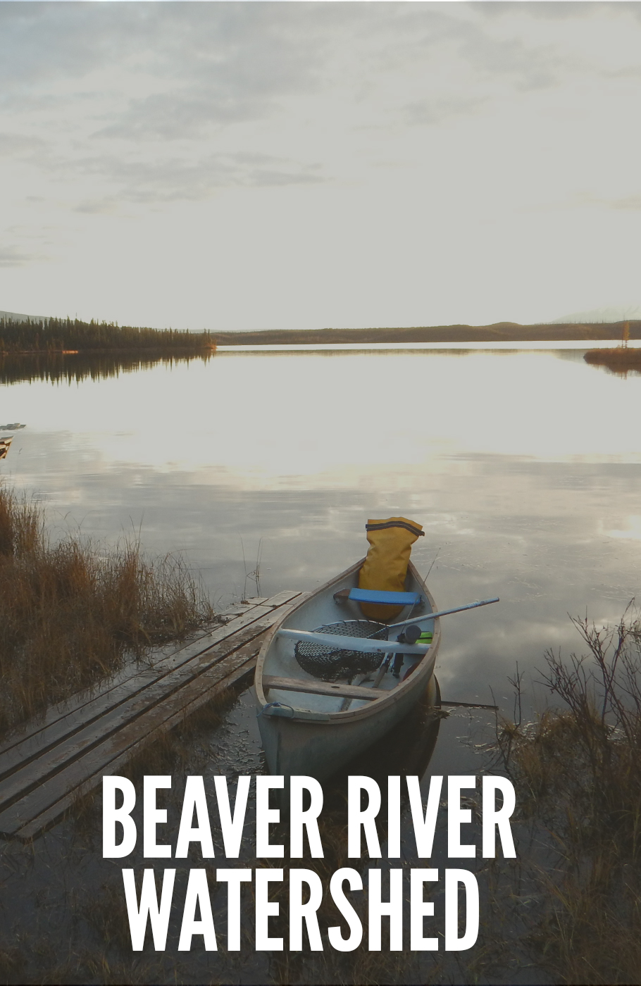
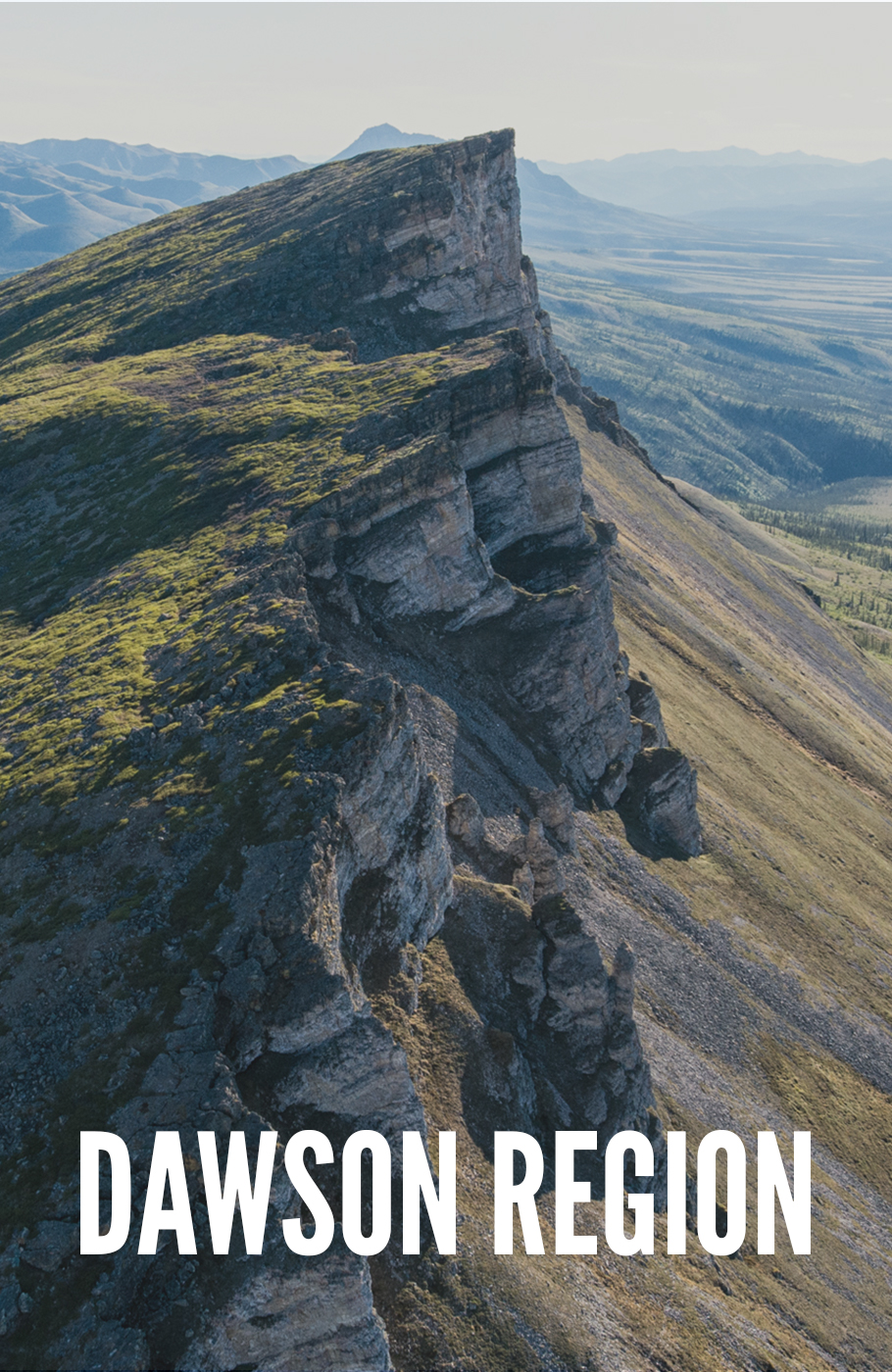
The Yukon is divided into seven large planning regions. This is the scale that regional planning takes place at. So far, only one plan has been completed – the North Yukon Regional Plan. Subregional planning is also possible and is happening right now in the Beaver River Watershed.
Regional and subregional plans identify land that should be protected and land that could be developed. For example, Dàadzàii Vàn Territorial Park was established after it was recommended in the North Yukon Regional Plan. Regional plans also include policies and recommendations for decision makers to follow.
Yukon’s regional land use planning process is embedded in the Umbrella Final Agreement (UFA), a modern treaty framework agreement between Yukon First Nations, Yukon government, and the federal government. The UFA lays out a democratic process for regional planning that is truly owned by all Yukoners and must be respected.
Regional plans are prepared by independent Planning Commissions. Commission members are nominated by Yukon Government and First Nations that have traditional territory in the planning region. To create a plan, Commissions spend years looking at a region’s social, ecological and economic values. They engage with communities and stakeholders to understand different perspectives. Along the way, Commissions release draft versions of the regional plan that people can provide their say on. Commissions consider all of this knowledge and input, and use it to create a Final Recommended Land Use Plan that is submitted to Yukon Government and affected First Nations for approval.
Stories about land use planning
Get Involved
Currently there are no events for land use planning taking place. Stay tuned to this page, or connect with us to be updated on the latest!

