Stories and photos by Malkolm Boothroyd and Adil Darvesh | March 23, 2024
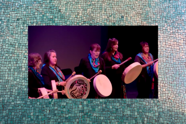
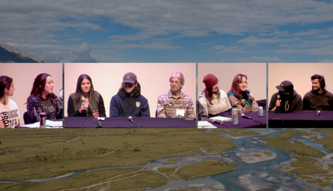
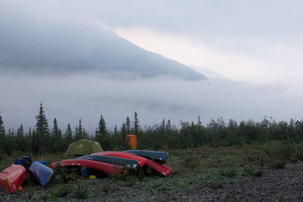
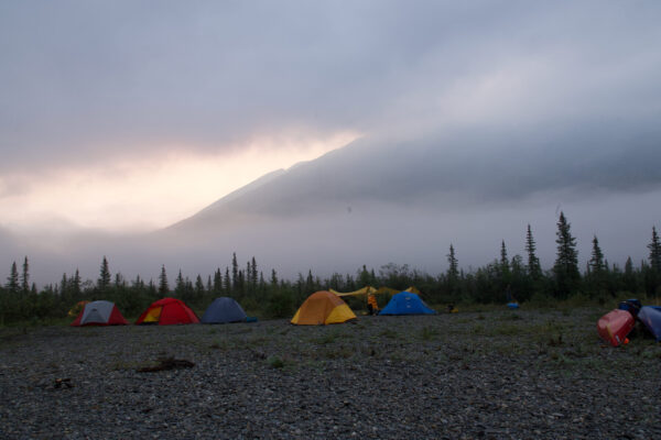
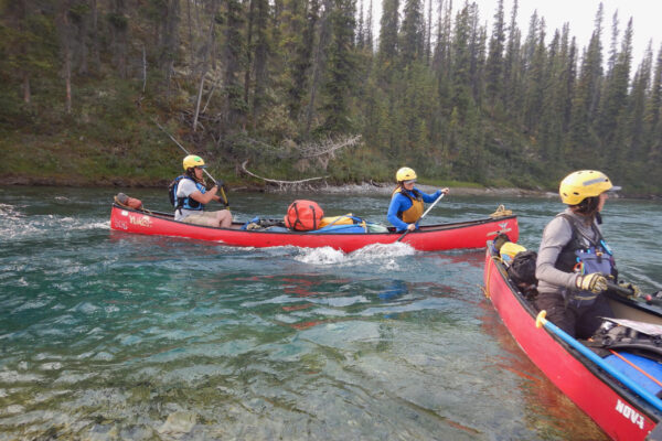
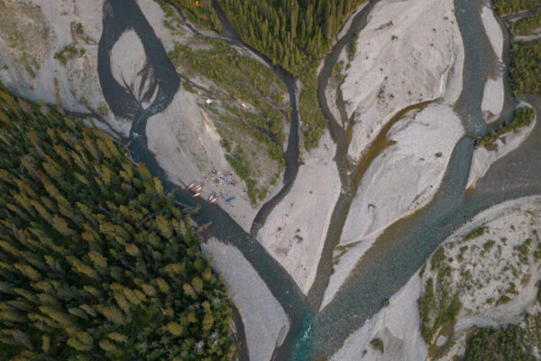
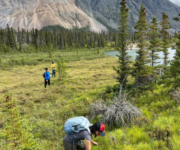
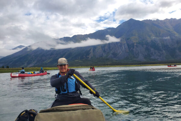
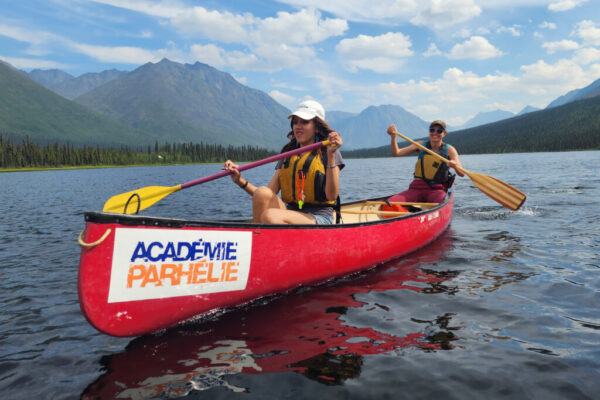
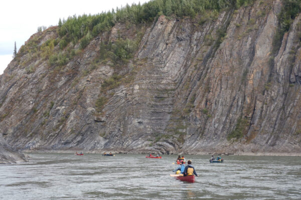
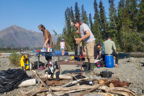
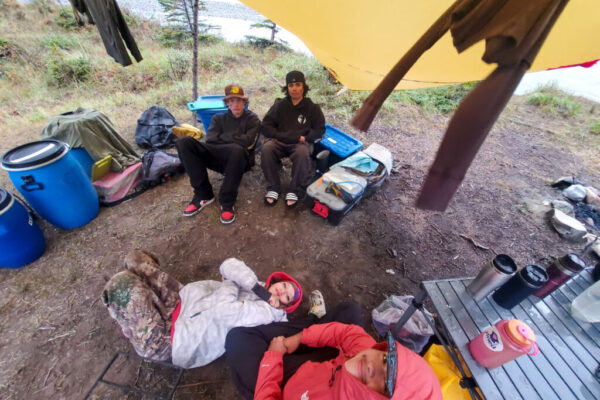
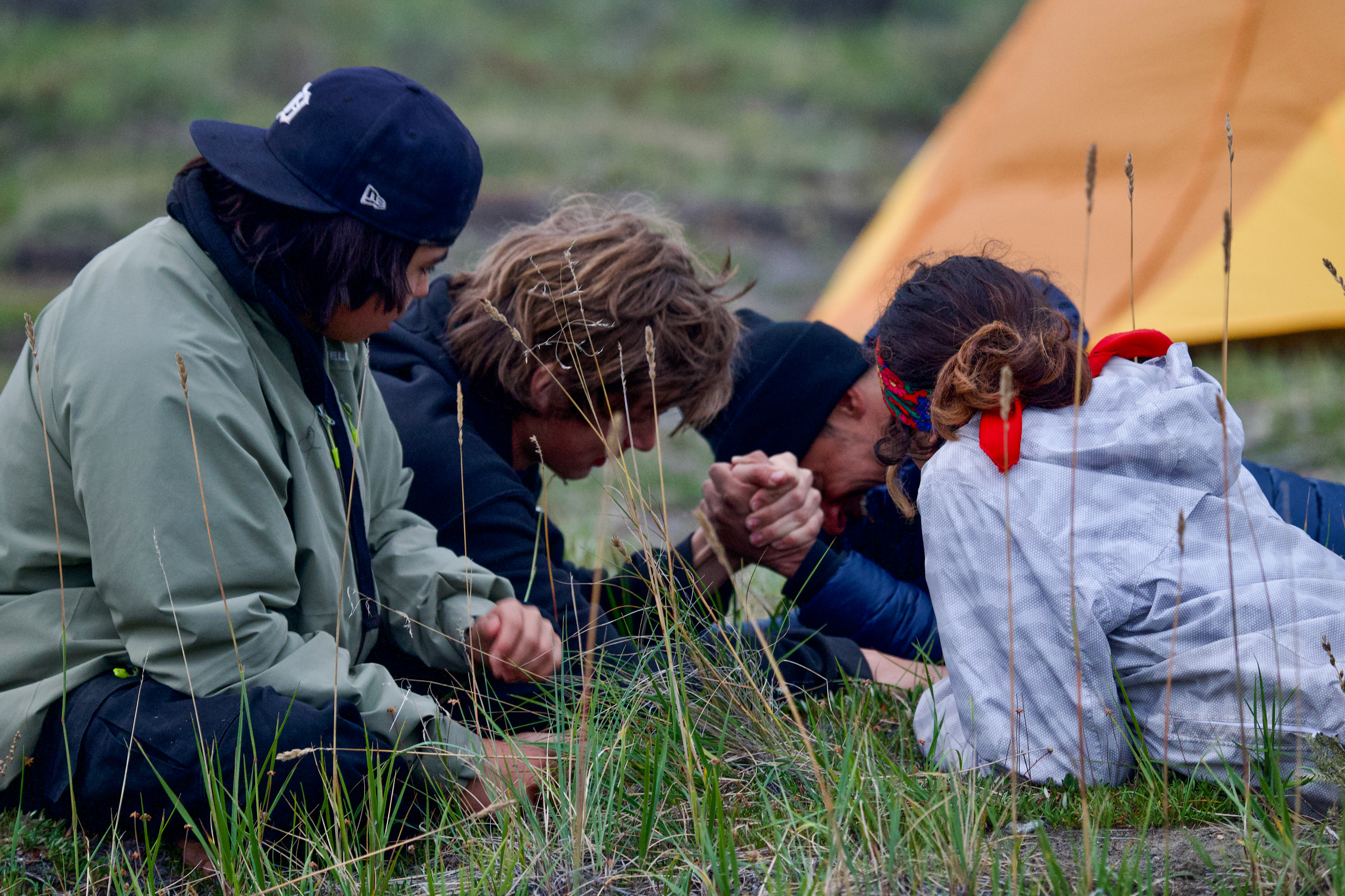
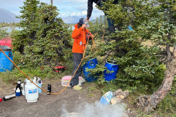
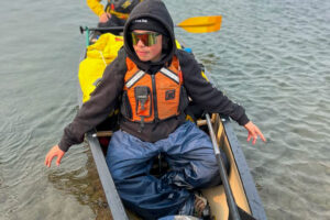
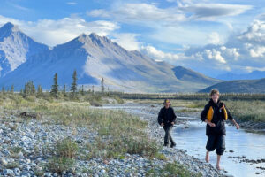
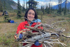
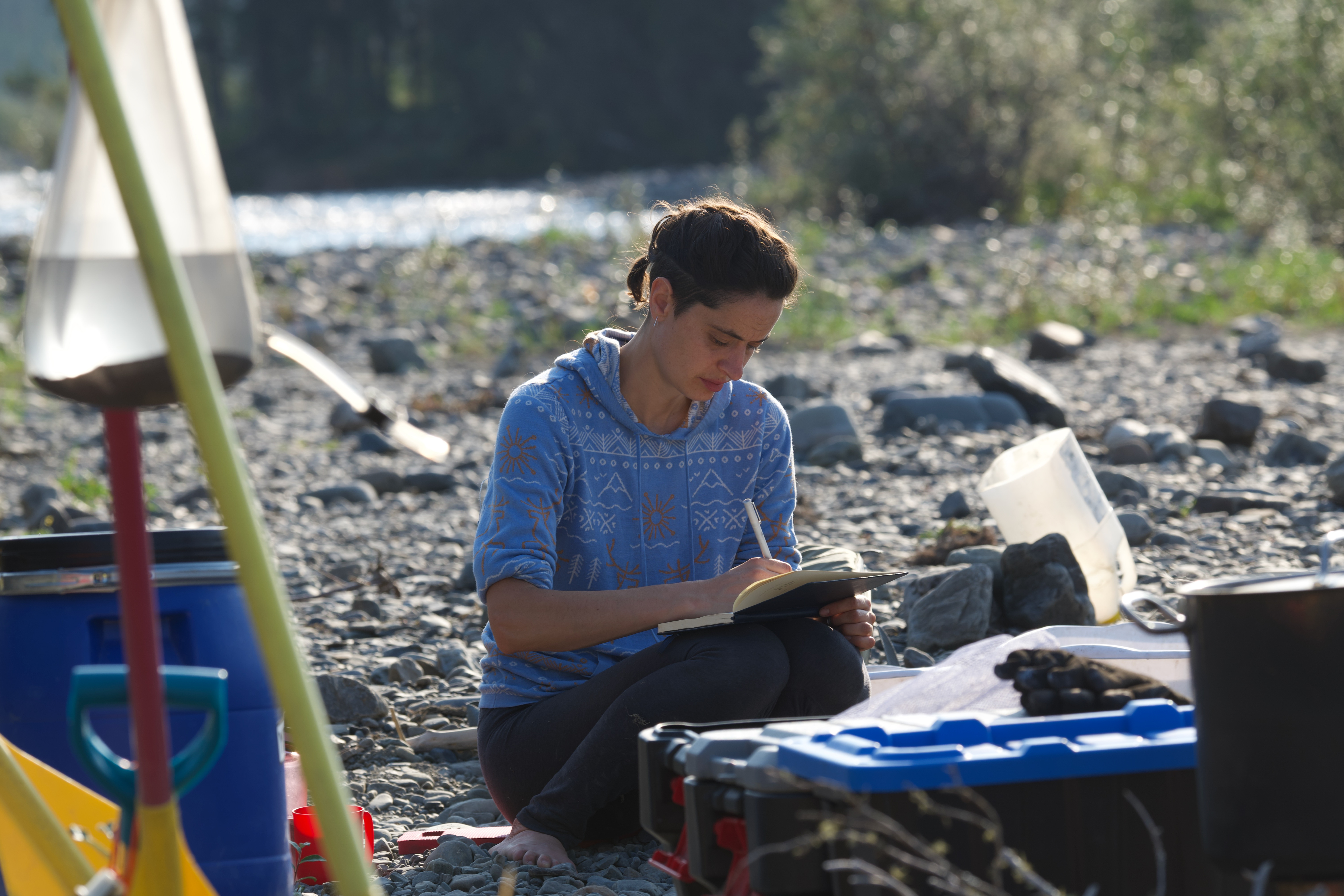
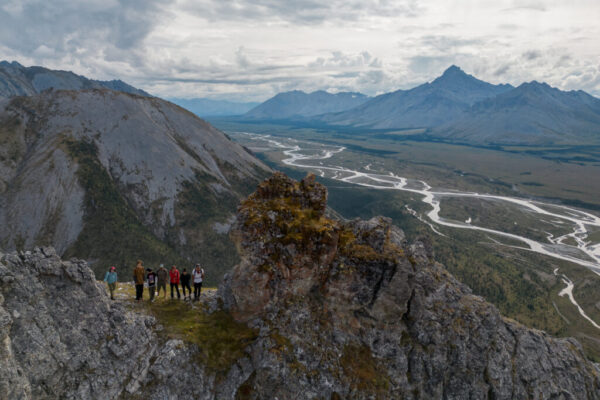
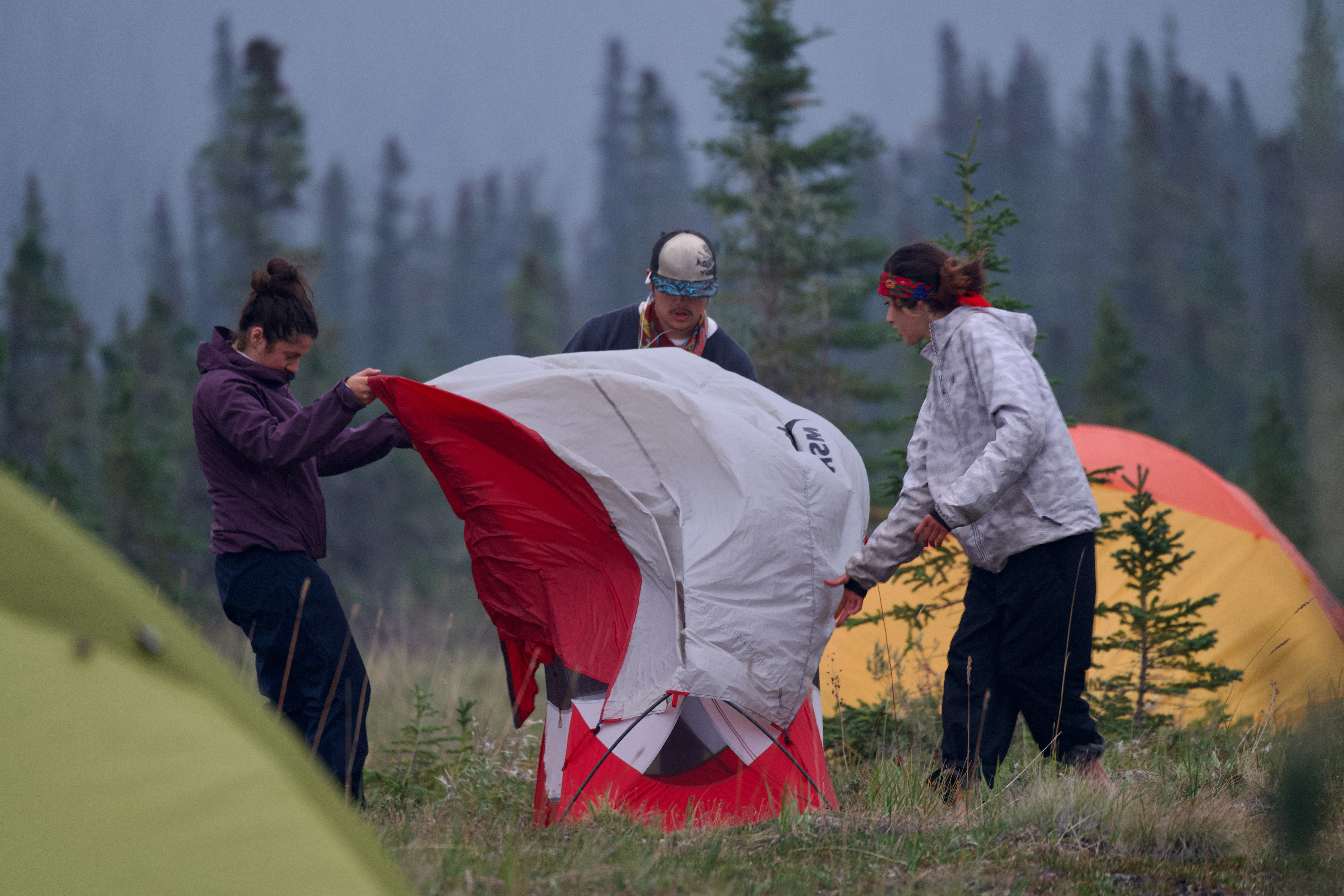
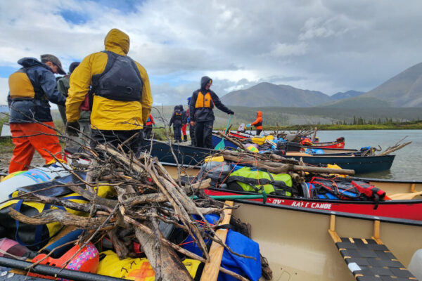
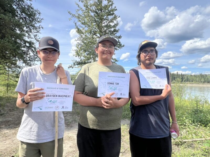
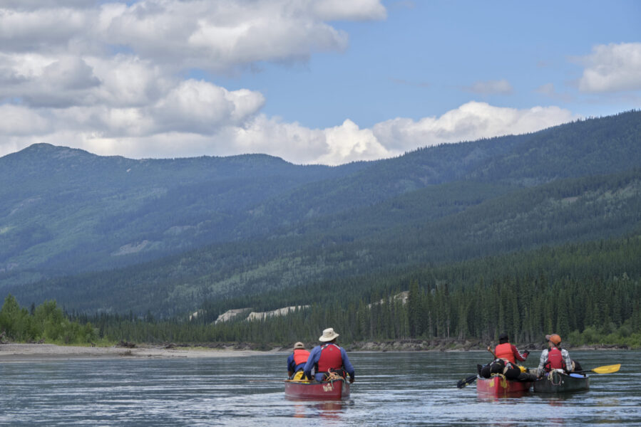
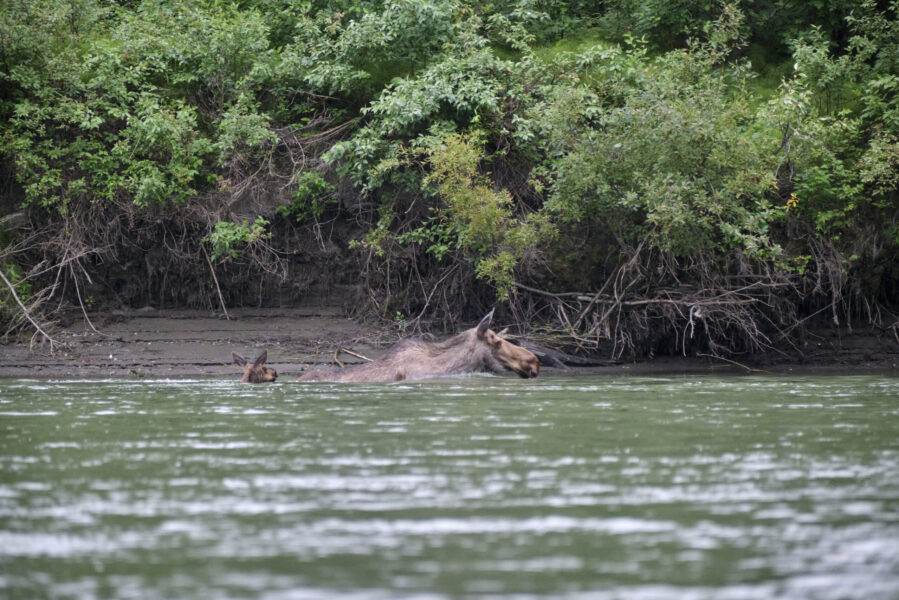
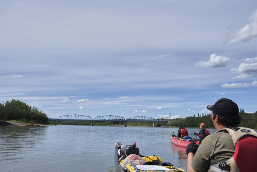
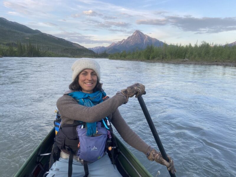
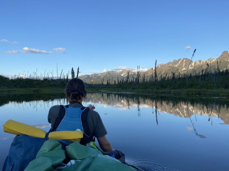
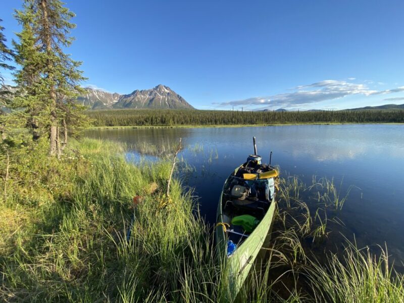
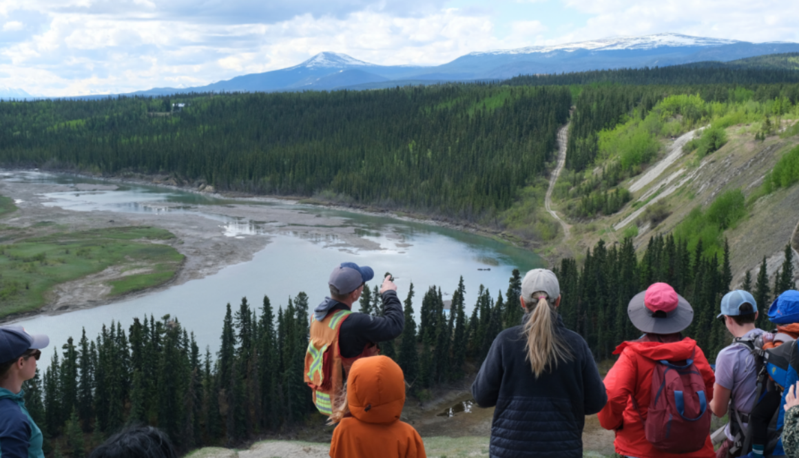
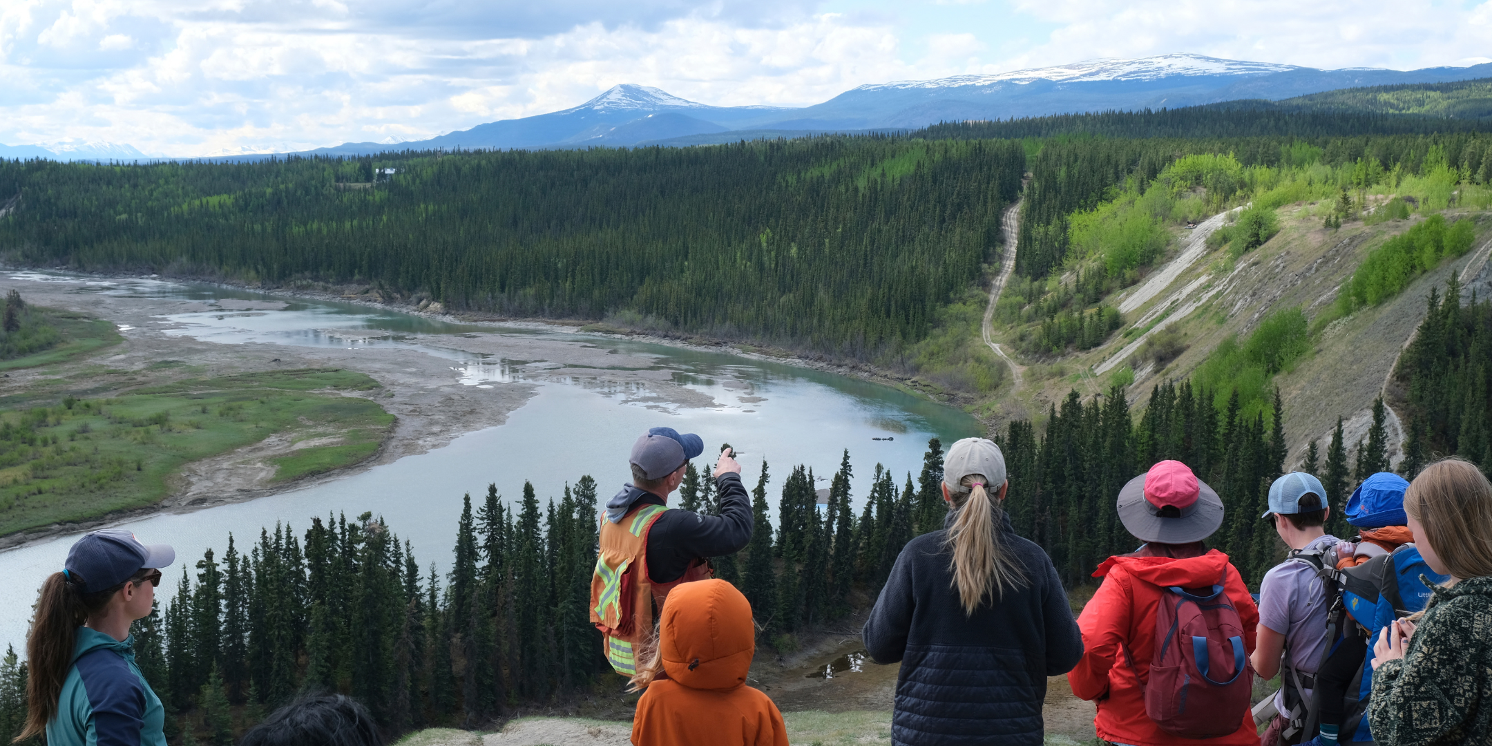
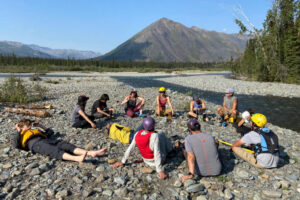
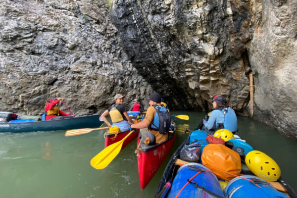
Happy World Water Day! Today we’re looking back to July 2022 when First Nations youth spent 9 days paddling along the Stewart and Yukon rivers during the Mayo to Moosehide river trip.
For decades CPAWS Yukon has organized or helped organize and guide on the land trips into different areas. These kinds of trips not only give youth life-changing skills and experiences, but also the agency and confidence to speak up for the land, water, and wildlife. Read on as we spotlight special moments from the journey, which was organized by the Yukon First Nation Education Directorate (YFNED), First Nation of Na-Cho Nyak Dun, and CPAWS Yukon.
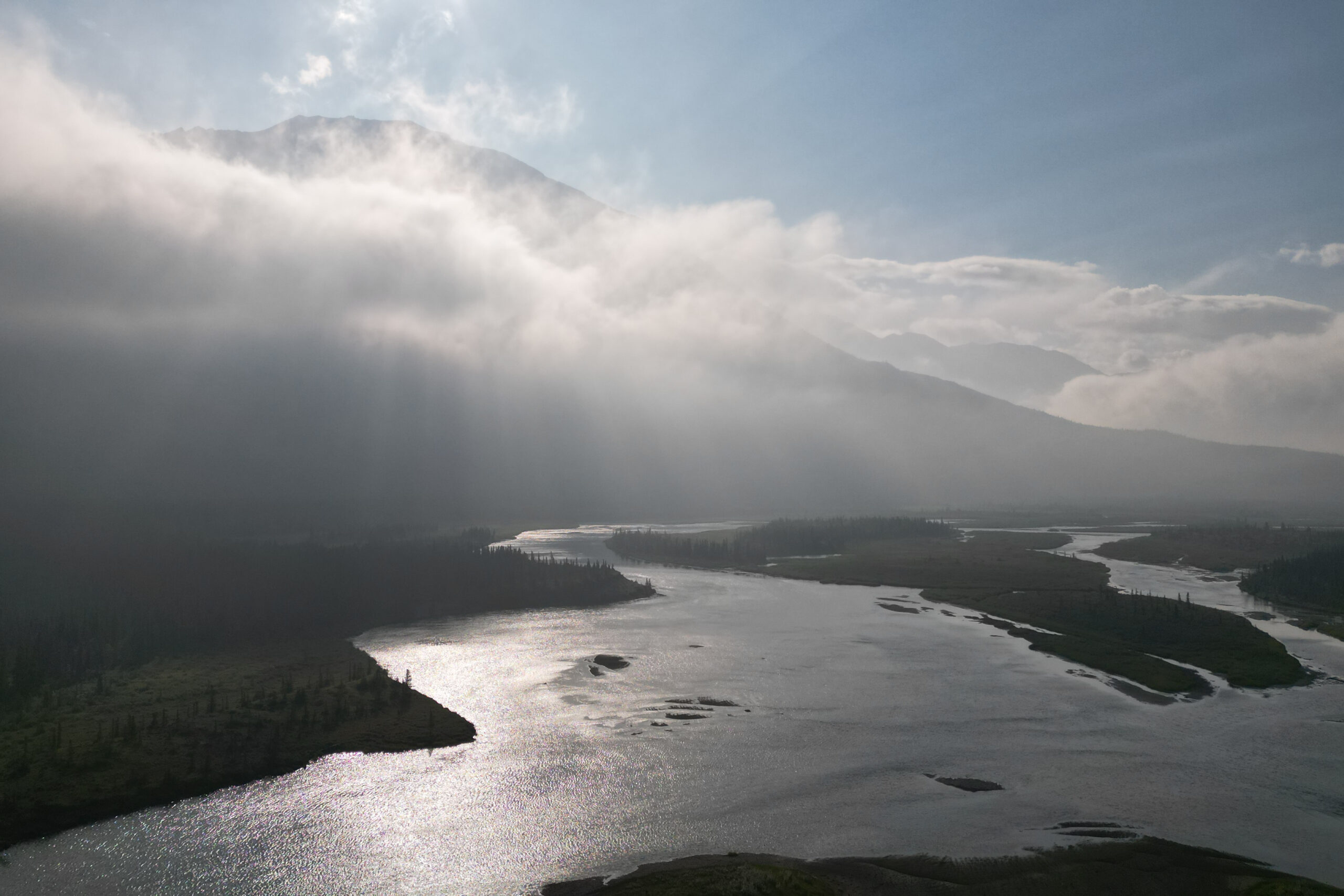
“A few days into paddling, the Stewart River started to curve away from the Klondike Highway and we left the highway noise behind. We got to leave the stresses of everyday life behind, trading them in for downtime on the water. There’s nothing quite like it.” – Adil Darvesh
“Rivers are constantly changing. One of our landing spots on the Yukon River was a tricky backwater to catch… or at least it was the last time Jim Boyde paddled here. Jim drew us a diagram in the sand showing where to ferry, and we got back in our boats hyped for a challenge. But when we rounded the corner we found that the river had washed away the obstacles, and the weird currents were no more.” – Malkolm Boothroyd
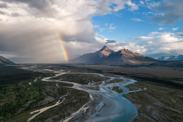
“On our third day out from Mayo we were hit by two waves of torrential rain, the first as we paddled, the second in the evening as we were cooking dinner. The low angle sun broke through the clouds even as the rain kept hammering down, the intensity of the sun and the rain formed one of the most vibrant double rainbows I’ve ever seen, one of the bands almost touching the wet stones on the bank of the Stewart River. A few moments later the rain and the rainbow were gone.” – Malkolm Boothroyd
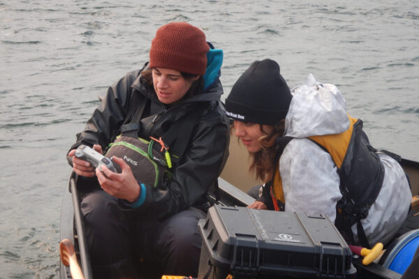
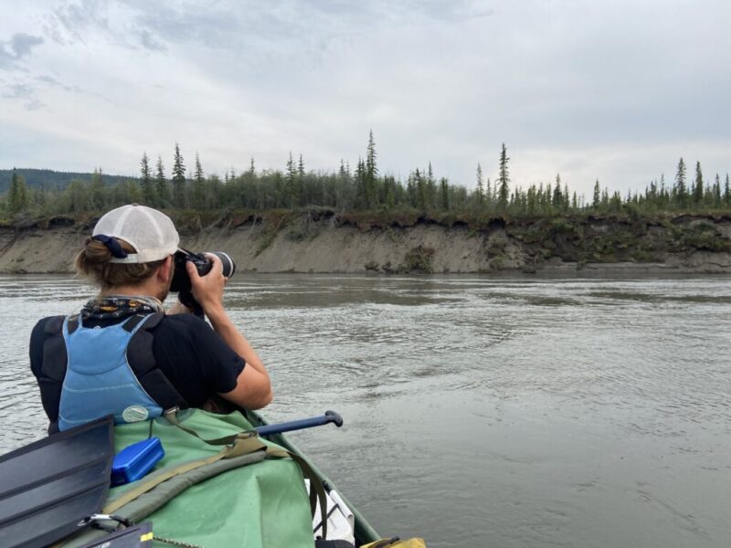
“We paddled along areas where First Nations fished and gathered since millennia ago. Most of us also brought our phones and extra battery packs to document and share the experience. Old traditions and new tools came together on the water. In the evenings, a computer pinged in Downtown Whitehorse, five hundred kilometers away, letting our team know we were safe.” – Adil Darvesh
“Usually when I see nighthawks it’s dusk, and they’re chasing insects high overhead. It’s rare to see one up close, but when I do I always marvel at the intricate details in their feathers and their bizarre looking heads. This bird was hanging about on a gravel bar, not far from where we camped one night. It probably had chicks nearby.” – Malkolm Boothroyd
“‘Come get some tea’ hollered Steve Buyck as he poured steaming tea into a series of mugs. Just beside him, Liz Blair shuffled some plates around to add the second of three, yes THREE, rhubarb pies that she baked for our arrival. You could tell they were so excited to welcome us, and we were so happy to see familiar faces!” – Adil Darvesh
This blog post is a social media roundup based on posts shared in 2023 covering special moments from the Mayo to Moosehide river trip. Parts of this trip were in the Dawson Region, where land use planning is currently underway. Getting youth on river trips has been of utmost importance for us at CPAWS Yukon and has more and more been a focus of our work.
Written by Paula Gomez Villalba, Communications Coordinator | February 21, 2024
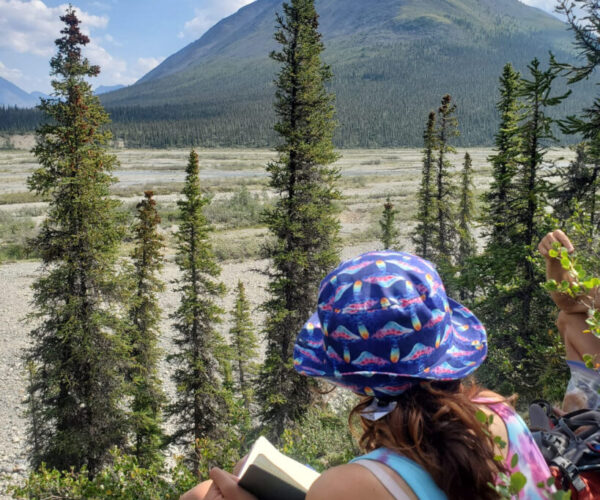
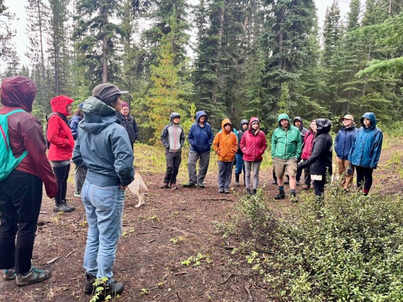
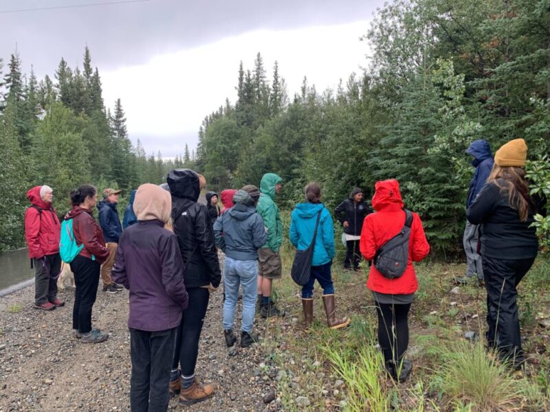
On a sunny day nestled in a week of July rain, we came together in Chasàn Chùa/McIntyre Creek to join Plants of the Boreal, a walk and talk series that connects people, place, and plants. CPAWS Yukon has been partnering with like-minded non-profits over the past two years to feature special guests for guided walks on the traditional territories of Kwanlin Dün First Nation and Ta’an Kwäch’än Council in Whitehorse. The forests and wetlands in Chasàn Chùa are home to an array of diverse plants, each with their own unique stories, traits, and roles in the boreal ecosystem.
At the time, Laurence Fox was the outreach manager for the Yukon Invasive Species Council (YISC), although they’re now a part of the team here at CPAWS Yukon! They welcomed us in the gravel parking lot with a pocket field guide to invasive plants of the Yukon in one hand and a friendly pup tethered to the other. I could see a set of pruners poking out from Laurence’s back pocket, and immediately knew we were in for a fun afternoon.
Right in the parking lot, pink and purple fireweed (nàkhela in Southern Tutchone) and white yarrow (ts’agyu) flowers bloomed. Down the trail we saw patches of kinnikinnick (zhǜr nlan), locoweed, and goldenrod. Each plant was different, thriving and reproducing in their own way.
Goldenrod, yarrow, and locoweed. Photos by Paula Gomez Villalba.
As we walked down to the creek through the forest, we learned that many of Yukon’s native plants know the history of the short spring and summer seasons in the territory, having evolved to flower early in the season and form fruits and seeds by late summer. I could see signs of this all around us: prickly wild roses had dropped their petals and started forming bright rosehips (khǘr zhǜr), and clusters of glossy black crowberries (zhǜr tthē) already dotted the forest floor.
Prickly wild rose, crowberries, and even some fireweed plants start producing seeds (inside fruits or capsules) throughout July. Photos by Paula Gomez Villalba.
Unfortunately, these mosaics of colours, textures, and life are at risk…
While adapting to the short growing season traditionally gave Yukon plants an edge, climate change is rapidly changing the North. Warmer temperatures, changes in precipitation, and human disturbance are creating conditions that favour invasive species—introduced, non-native species that cause harm. Some choke out local species, while others change the soil or overgrow, crowding out other plants.
There are eight species of horsetail in the Yukon, and four have been observed in Chasàn Chùa. Photos by Paula Gomez Villalba.
Along the creek where the soils became sandy and exposed, horsetail covered the ground, creating a delicate green mat of thin and intricate branches. Laurence explained that horsetail is one of the oldest plants on the planet, having been around during the Jurassic period and surviving multiple mass extinctions! Yet even these ancient plants are vulnerable to invasive species. Laurence snipped a stalk of white sweetclover growing just a few feet away. They explained how this plant, introduced accidentally through farming, fixes nitrogen in its pithy white roots, making the soil where it grows less hospitable to horsetail and other native species.
White sweetclover is invasive, and it is now well-established here in the Yukon. Photo by Paula Gomez Villalba.
Many invasive species first establish and spread easily near disturbed areas. White sweetclover loves gravelly soils, like those found along rivers, construction sites, and roadsides. At roadsides especially, sweetclover pushes out fireweed, producing a whopping 300,000 seeds and hitching rides on the soles of people’s shoes or the tires of their bikes and cars. These seeds can lie dormant in soil or water for up to 30 years before popping back up to sprout when conditions are right, which means restoration work requires returning to the same place and removing sweetclover again and again until the seedbank is depleted. It’s a slow process that’s made even more difficult due to the lack of resources dedicated to managing invasive species in the Yukon.
No one is really responsible for evaluating and combating invasive species in the Yukon. The territory’s Wildlife Act defines wildlife only as vertebrate animals, rather than all living organisms like plants. There is no noxious or invasive plant act. As we walked through the forest, Laurence highlighted the importance of writing to your local representatives. The territory needs comprehensive legislation to protect native species and species at risk. Stable, long-term funding is essential for increased awareness and on-the-ground restoration efforts that prevent the further introduction and spread of invasive species.
Ultimately, the future of the northern boreal depends on the actions we take today. White sweetclover is just one of many invasive species whose presence puts much of what makes the Yukon special at risk. Invasive species aren’t inherently better or more suited to the north, they just have a strong competitive edge because human-caused climate change continues to create favourable conditions for them, while simultaneously stressing native species.
Bumblebees and many other animals rely on native Yukon plants to survive. Photo by Paula Gomez Villalba.
Beyond providing space for us to connect with nature, boreal forests and wetlands are biodiversity hotspots that filter water, provide homes for wildlife, and help build resiliency to climate change. Disrupting them triggers significant changes across ecosystems that have taken millenia to evolve. That’s why we need resources to engage and connect people with plants and restore areas that are changing. Find out about future Plants of the Boreal walks and similar events by signing up for our newsletter.
Southern Tutchone translations from the Yukon Native Language Centre’s Southern Tutchone Noun Dictionary and Champagne and Aishihik First Nation’s Dákwänjé Dictionary.
CPAWS Yukon is deeply disappointed to learn Bank of America has copped-out on its pledge not to fund oil and gas projects in the Arctic, including those which could take place within the sacred calving ground of the Porcupine Caribou Herd in Alaska’s Arctic Wildlife Refuge.
Placing these types of projects under “enhanced due diligence” means Arctic oil and gas and projects would be subject to a high-level of risk assessment and “escalated to the Senior Level” for risk assessment. While CPAWS Yukon understands Bank of America’s decision comes in the wake of increasing pressure from some U.S. politicians attempts to restrict or even criminalize the application of Environmental, Social, and Governance (ESG)—policies which, when applied within financial and business institutions, focus on social and environmental sustainability and responsibility—this change effectively moves potential funding for Arctic oil and gas projects, including those within the Arctic Refuge, from “off the table” to “on the table, under the right circumstances.” CPAWS Yukon finds this wholly unacceptable.
“The underhanded manner in which Bank of America has reneged on its commitment to boycott the funding of Arctic oil and gas projects casts a poor light on the institution’s willingness to take climate change, the health of the environment, and rights and sovereignty of Indigenous peoples on both sides of the border seriously. Frankly, Bank of America’s actions are shameful.”
-Laurence Fox, Campaigns Coordinator, CPAWS Yukon
Bank of America is the second largest financial institution in the U.S., with assets totalling US$2.4 trillion. It has been the fourth largest funder of fossil fuel development since the implementation of the 2016 Paris Accord and was the last of the six major U.S. banks to commit to not financing oil and gas projects in the Arctic. The remaining five major institutions all currently have policies committed to not financing drilling in the Arctic. Similarly, thanks to joint pressure from CPAWS, the Vuntut Gwitchin, Gwich’in Tribal Council, and our partners within the international Arctic Defence Campaign, all five of Canada’s major financial institutions have committed to denying funding for oil and gas projects within the Arctic Refuge in order to protect the Sacred Calving Grounds of the Porcupine Caribou Herd and the rights of the Gwich’in Nation. Bank of America’s decision to backpedal on its agreement is not only a broken promise to Arctic Indigenous communities, Americans, and Canadians, but a deviation from the international norms agreed upon by its contemporaries and competitors.
CPAWS Yukon stands in solidarity with the Vuntut Gwitchin, the Gwich’in Nation, independent Inupiat, Yukoners, Americans, and Canadians who have explicitly and emphatically opposed all oil and gas development within the Arctic Wildlife Refuge. The only acceptable development within the Arctic Refuge is no development, and the retraction of its no-funding policy for Arctic oil and gas projects by Bank of America is both a direct threat to this long-stated, Indigenous-lead position and the Refuge itself. Its decision is, furthermore, in direct contradiction of its own stated understanding within its framework that “the Arctic is a unique region with specific considerations to take into account, including those of marine and wildlife, a fragile ecosystem, and the rights of Indigenous peoples.” CPAWS Yukon cannot see how Bank of America can hold this statement to be true, while simultaneously going back on its promise to ban funding for oil and gas projects in the Arctic.
CPAWS Yukon urges Bank of America to reconsider its position and sincerely hopes the institution will make good on its previous commitments, now and in the future.
For more information on CPAWS Yukon and our campaign to protect the Porcupine Caribou and the Arctic Refuge, please visit our website.
Written by Chris Pinkerton, Executive Director | January 24, 2024
In the Yukon, we’re grappling with a stark reality – we’re the third most food insecure place in Canada. This alarming statistic is not just a number; it’s a pressing issue that concerns all Yukoners. Last September, I had the privilege of presenting at the Yukon Food Security Conference as the master of ceremonies, a conference where food producers, emergency food distribution organizations, community support groups, and local businesses came together here to tackle the current state of food insecurity in the territory. Up until a year ago, I was the coordinator for the Yukon Energy Food Security Network, where I worked collaboratively with Yukon communities, advocating for stronger northern food systems. When I started as Executive Director with CPAWS Yukon in January of 2023, the focus of my work shifted to environmental conservation, but I still felt deeply connected to the work and relationships I had built while advocating for Northern food security.
Photo by Yukon Graphic Recording.
During the well-attended two-day conference held at Yukonstruct, we heard from many inspiring speakers. As we milled about between talks, noshing at the snack table or grabbing a quick cup of coffee, people approached me time and time again to ask me the same question:
“It’s great that you still care so much about food security, but why is CPAWS here?”
On one hand, I can understand the confusion—as a conservation organization dedicated to advocating for the territory’s abundant wild spaces, our mandate doesn’t directly appear to speak to food security or food sovereignty. But when people were asking why CPAWS Yukon would bother attending a conference on food security, what they were really saying was that they didn’t see a connection between environmental conservation and food security. Since taking on my role here at CPAWS Yukon, I’ve found that the exact opposite is true—Northern food security and the protection of wild spaces are deeply interconnected. Environmental factors such as climate change, loss of biodiversity, and sustainable community infrastructure are things we talk about in conservation, but they also affect the food systems that support all Yukoners, regardless of culture or community, although this is especially true when we talk about Indigenous food security.
Here in the Yukon, 98% of the food purchased in stores is trucked up the Alaska Highway. This limited infrastructure means food has to be shipped over long distances to get to northern communities, including Whitehorse. Not only does this make food cost more in the North, especially in more remote communities, but the long travel times and cold winter weather means we often struggle with quality as well as quantity. Likewise, food supplies are at risk of disruption from road closures, whether from a car accident, or—as we’ve increasingly experienced due to climate change—forest fires, flooding, and landslides.
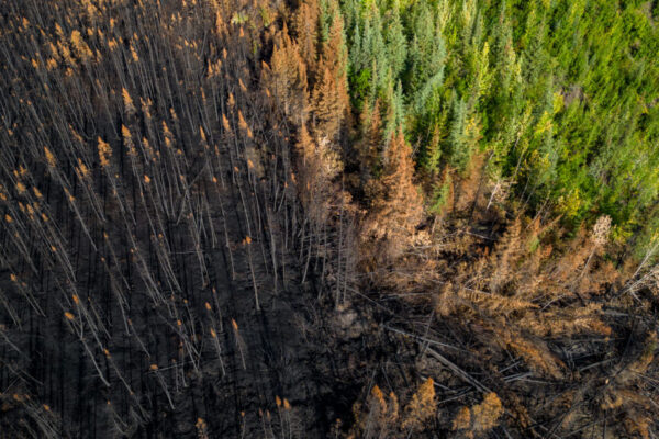
Wildfire along the Stewart River. Photo by Malkolm Boothroyd.
In 2022, for example, we saw the Alaska Highway closed after a creek washout destroyed a section of the road, and in 2023 the heavy fire season temporarily cut off road access to several Yukon communities. When the highways shut down, it doesn’t matter where you live or how much you earn, the grocery store shelves are just as empty.
Climate change and habitat loss is impacting the Yukon, with some populations of Yukon salmon, sheep, moose, and caribou in steep decline. Beyond the potential for severe ecological impacts, this also has direct, and sometimes dire, effects on Northern food security. This is especially true for First Nations, some of whom—like the Tr’ondëk Hwëch’in and the Forty-Mile Caribou Herd or Kluane First Nation and Dall sheep—have voluntarily reduced or canceled hunting or fishing for culturally important species which they have often relied on for subsistence for generations.
Fortymile Caribou Herd. Photo by Malkolm Boothroyd.
Food sovereignty is the right of peoples to have healthy and culturally appropriate foods produced through socially just, ecologically sound, and sustainable methods. It speaks to the collective right to define one’s own policies, strategies, and systems for food production, distribution, and consumption. We heard about the importance of this from experts at the conference in September. Derek Hasting spoke on the success story of the Tr’ondëk Hwëch’in Farm, which provides local fresh food to Tr’ondëk Hwëch’in citizens, and Clifford Gladue of White Fish Lake First Nation talked about his work to bring traditional foods into schools in Northern Alberta. Many spoke directly about the importance of the access to land, ‘wild’ or otherwise, for both food sovereignty and security.
Moreover, troubling numbers from the Food Bank Society of the Yukon (formerly the Whitehorse Food Bank) have shown an unprecedented increase in demand, with food distribution and client numbers almost doubling since 2020. Food insecurity is a growing issue affecting all Yukoners, not just those living in more remote areas. As an added note, since the COVID-19 pandemic, the Yukon Food Bank has also been shipping food to Carmacks, Faro, Atlin, Haines Junction (and surrounding area), and Watson Lake.
From the conservation side at CPAWS Yukon, it’s hard even to say that we look at it through a different lens. When our team talks, we speak to land sovereignty and the need to steward and protect the land from the pressures of industry and climate change. When staff visit Yukon communities, we hear stories about generations of cultural values and history, and the health benefits that come from connecting to the land. Our conversations are often about respecting the land because it’s where food was harvested to feed communities and raise healthy families. We hear about the value of traditional foods, of moose, caribou, and salmon. We’re told stories about places to hunt, or fish, and places to harvest plants or medicines, and the importance of these things for strong food systems and community wellness. We are taught that the salmon and caribou are keystone species – impacting the health of the land and the water. And we mourn that some communities who once relied on salmon for food are now unable to fish their rivers or to teach their children their history or values at fish camp. Some are even buying and importing fish so community members can have just a taste of their culture and tradition.
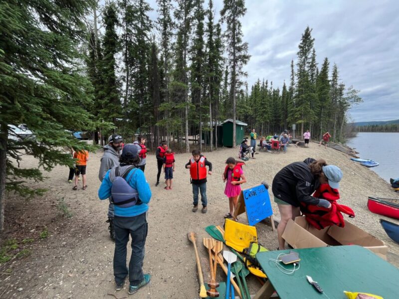
Canoe Culture Camp co-organized by the Yukon First Nation Education Directorate, First Nation of Na-Cho Nyäk Dun, and CPAWS Yukon. Photo by Malkolm Boothroyd.
Our work makes it clear that community health, food security, land and water conservation, climate change, and biodiversity loss are all interconnected. As Yukoners, we can’t pick and choose to look selectively at only one part and expect to “fix” anything. When we look at food security (and sovereignty) along with the conservation of wild spaces as two sides of the same coin, we move forward in safeguarding landscapes that protect the well-being of the people who live on them, and vice versa.
Written by Adil Darvesh, Communications Manager | January 10, 2024
Another amazing year has come and gone! On an individual level, an organizational level, and even on a broader conservation level, it seems like so much has happened throughout 2023.
We began the year on the heels of some very exciting news for the Yukon. A brand new Canada-Yukon Nature Agreement where the Yukon government formally committed to protecting 25% of the territory’s land and water by 2025 and funding for important conservation initiatives was signed at the COP15 summit in Ottawa. Not only does this provide a concrete direction for Yukon government, but aligns with what we know that Yukoners want.
This is just beginning, and we think there’s still so much opportunity to push even further. Protecting at least 30% by 2030 is a great next step to continue the momentum that we’re building.
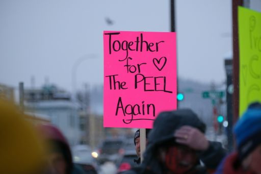
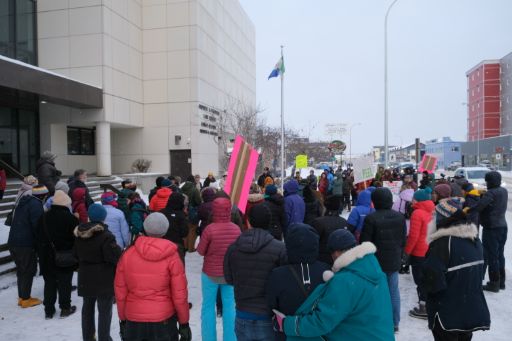
The first proposed development after the signing of the 2019 Peel Watershed Regional Land Use Plan required high standards for approval, and YESAB concluded that the Michelle Creek project didn’t meet those requirements. We felt great about the news, not only that the standard for projects would be higher, but that YESAB would hold companies accountable to those requirements.
We hope that this isn’t a pattern that develops between Yukon government and YESAB, but we’ll be keeping an eye on it and keeping you informed as it goes through the court process.
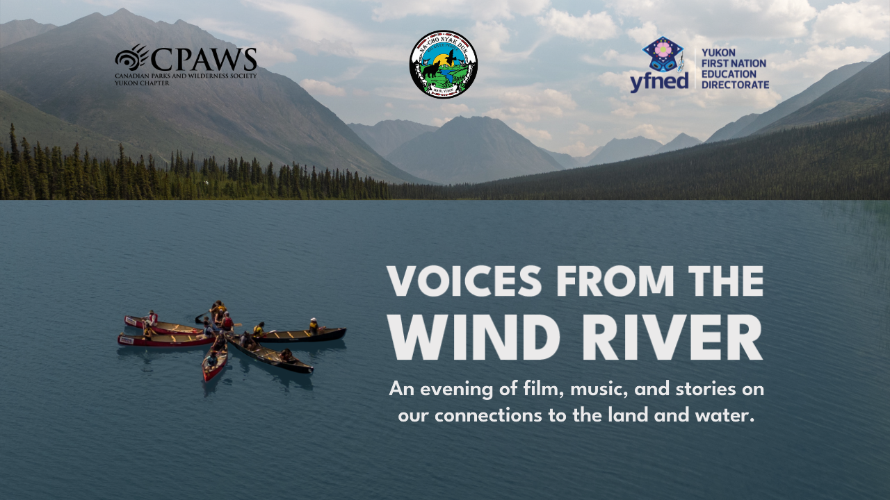
On a more positive note, we continued our work to help support on-the-land trips. In partnership with the First Nation of Na-cho Nyäk Dun (FNNND) and the Yukon First Nation Education Directorate (YFNED), Joti Overduin, our Outreach Manager, helped organize and lead youth through the meandering and scenic waters of the Wind River.
We’re so grateful to the Yukon Wildland Fire crews for helping everyone navigate through the trip and come home safely. Stay tuned in 2024 for lots of photos, videos, and stories from the Wind!
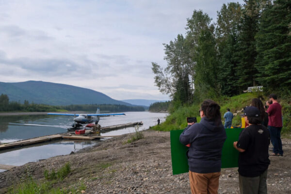
As the first float plane landed, friends and family waited on the shores of the Stewart River in Mayo to welcome the participants of the Wind River trip back.
Beaver River Watershed
As planning continues in other parts of the Yukon, we’re looking to the Beaver River Watershed in the Northern Tutchone region to continue with planning in the new year.
A few years ago, in early 2021, the Yukon government approved an exploration project in the Beaver River Watershed without appropriate consultations. The First Nation of Na-cho Nyäk Dun (FNNND) promptly sued the Yukon government, and won, with the court ruling that Yukon government did not adequately consult the First Nation and quashed the project approval.
It’s critical that Yukon government honours the rights and the values that FNNND, and many Yukoners want to see. We’re hopeful that the appeal won’t be upheld and we’ll be keeping an eye on it through the new year.
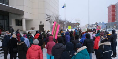
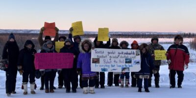
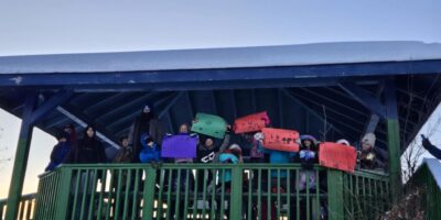
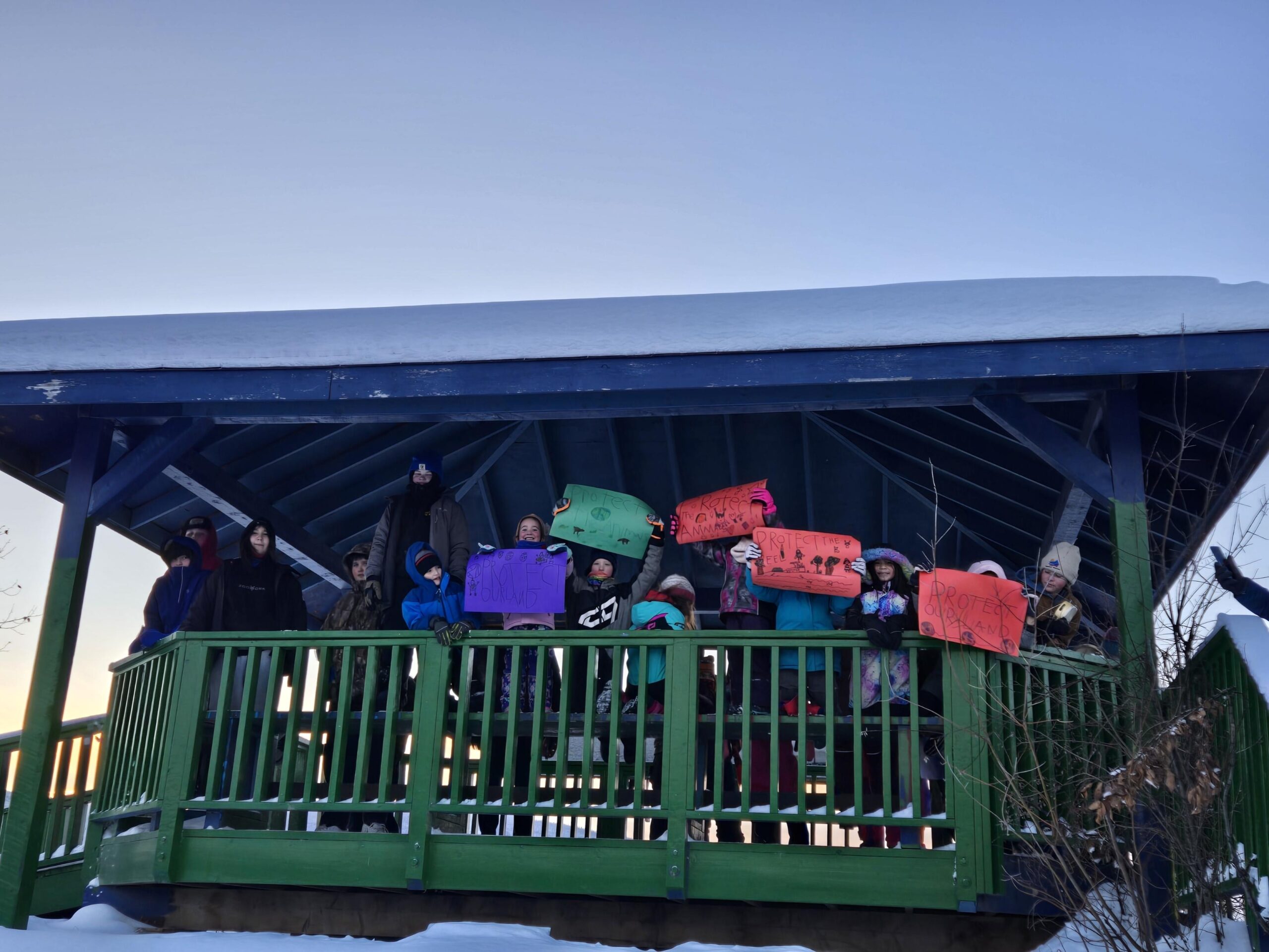
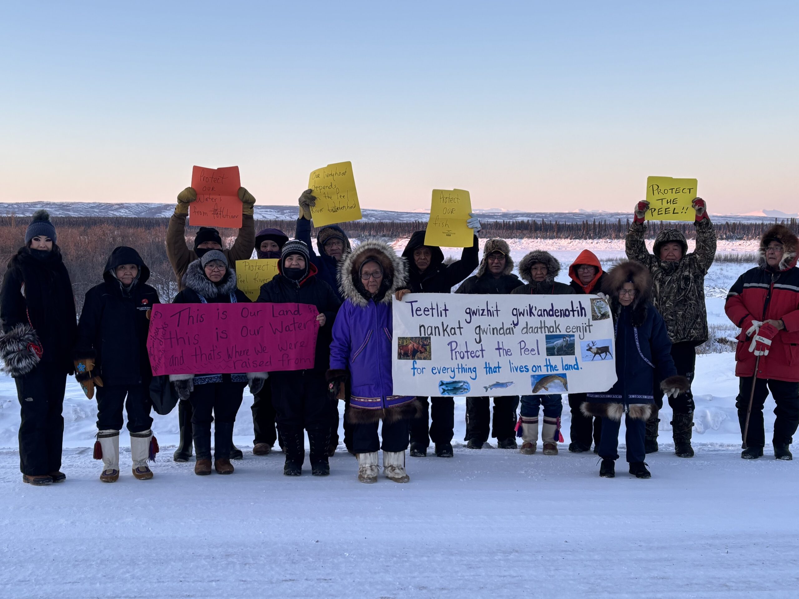
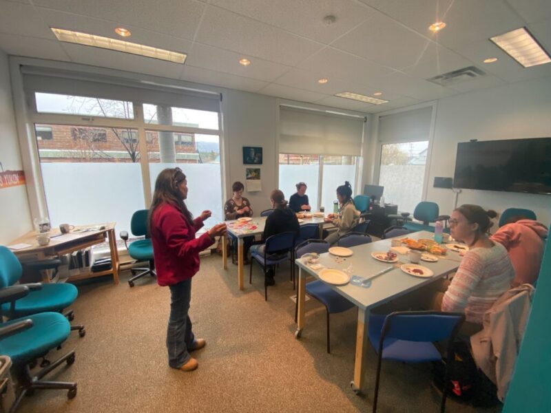
A small gathering at the CPAWS Yukon office to make posters and signs to protect the Beaver River Watershed.
Mining Reform
We have a once in a generation opportunity. New mining legislation will rewrite the outdated Placer and Quartz Mining Acts, bringing mining in the Yukon into the 21st century and reforming the entire cycle of a mine.
We want to see mining laws properly reflect the values that we hold today and ensure that the wild spaces that we hold so dear will be available for future generations to use as well. That’s why we spent much of the year promoting Yukon government’s New Mineral Legislation open houses. These open houses were an opportunity to express the valid concerns that we have around current mining legislation and provide feedback for the new ideas that the government planners had in mind.
We also wanted to ensure that you all had the opportunity to participate in a meaningful way. We released “Redefining Mining” a storymap help outline the some of the major issues with current mining legislation and we hope to see in the future.
A territorial park in the city of Whitehorse? That might be the future of Chasan Chua, a vibrant wildlife corridor that runs through the “Wilderness City.”
This year, Yukon government committed to working alongside Kwanlin Dün First Nation, Ta’an Kwäch’än Council, and the City of Whitehorse to establish a park. It comes after decades of campaigning to highlight the importance of the area, including the release of our report “Coexistence and Caution.”
After a year of taking account of as many wildlife species as we could throughout Chasan Chua, our 2023 report highlighted the major findings from the year as well as recommendations on how to ensure a healthy future for the creek and all of us who rely on it.
We also spent time scoping out Gladiator Metals’ claims which span from Cowley Creek, through Chasàn Chùa, and into Crestview. Mining exploration here would bring in lots of noise pollution, disturbance, and fundamentally change how the area gets used.
There were some exciting updates on the Porcupine Caribou Herd this year! In September, the Biden Administration canceled the seven remaining–and much contested–oil and gas leases within the Arctic National Wildlife Refuge, home to the calving grounds of the Porcupine caribou herd.
While this was a HUGE win for the Gwich’in who have been working so hard to protect the Arctic Refuge, it also means the work is far from over. Just because these leases have been repealed does not mean the Arctic Refuge is protected.
Along with this news came the release of the Supplemental Environmental Impact Statement (SEIS). This SEIS was meant to address the deeply flawed Environmental Impact Statement released by the previous U.S. administration.
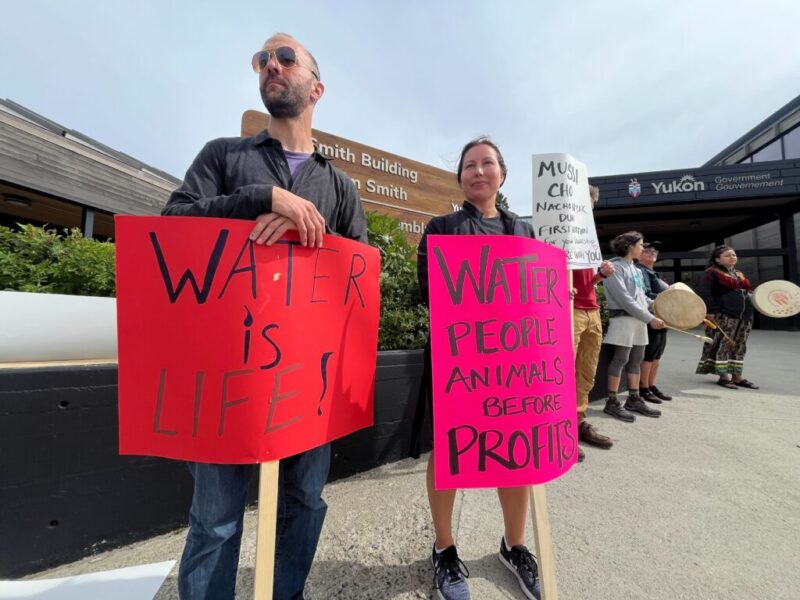
Thousands of you from across Canada shared your thoughts, vision, and values to protect the Arctic Refuge and the calving grounds of the Porcupine Caribou Herd. The U.S. Bureau of Land Management will continue combing through the responses and release their Final Environmental Impact Statement. One which we hope will put the Gwich’in and caribou ahead of profits for oil and gas.
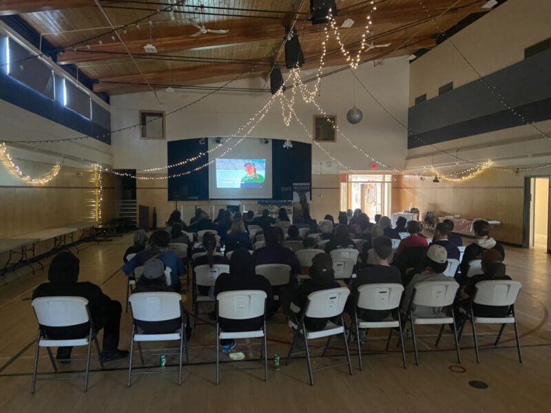
A gathering at the CPAWS Yukon office tuning into the virtual hearings for the Supplemental Environmental Impact Statement.
Land and Water Relationship Planning Gathering
In April, we co-hosted a land and water relationship planning gathering in Carcross. It was a day packed with important conversations from presenters across the north and participants from across the country.
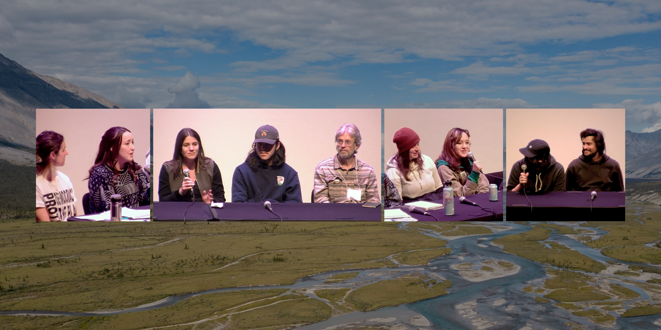
People from a broad spectrum of organizations, governments and institutions came together on April 20th, 2023, to share and learn about land and water relationship planning. This was very intentionally phrased to differentiate from land use planning. The gathering was an opportunity for western science and Indigenous knowledge holders to come together and share their knowledge, learn from each other, and move forward in a better way.
Some of the ideas and projects that were brought up at the gathering, in my opinion, deserve a bigger spotlight. This is hopefully just one step of many towards a better way of planning, and a better way of thinking about our relationship to land and water.
Top row (left to right): Checking out the Gladiator Metals’ claims, Beading for Reconciliation workshop, a day on the Mayo River with FNNND
Middle Row (left to right): Welcome home dinner from the Wind River, pine basket weaving workshop with Aiden, walk through McIntyre Creek with CPAWS trustees
Bottom Row (left to right): Joti beading at FNNND’s 30th anniversary of Final Agreement being signed, Chris speaking at the Land and Water Relationship Planning Gathering, learn to ski and ID animal tracks with Kwanlin Koyotes
Thank you all for a wonderful year! Your support helped us achieve some great things, and we’re looking forward to continuing this momentum in 2024.
Gladiator Metals Copper Claims around the City of Whitehorse
Written by Stephanie Woods, Conservation Coordinator | December 6, 2023
“It breaks my heart to see this. I’ve been hiking and biking here for 30 years. I’ve seen bears, caribou, snowshoe hares, wolverine tracks—all sorts of animals and birds. Yes, there’s some disturbance here but it’s not meant to be permanent. But disturbance is how the steamroller starts. People come and say ‘let’s do more.’” – Sandy Johnston
Sitting behind the wheel of his well-traveled red pickup truck, Sandy Johnston drove us along rough backroads, passing piles of copper-laced blue waste rock, leftovers from the long history of copper mining in this area. All around us, highly flammable coniferous trees like spruce and pine had been removed or mulched as a part of a firebreak the Yukon Government has been installing around the perimeter of Whitehorse. Sandy sighed: the firebreak, which has required much of the forest to be removed and the ecosystem dramatically altered, has been a hard compromise for the communities of Cowley Creek, Mary Lake, Wolf Creek, and Mt. Sima. Although it was a tough sacrifice to make, Sandy, a long-time resident of Mary Lake, explained it is a necessary sacrifice to protect the city from the increasing risk of wildfire, and he’s optimistic the area will eventually recover from the disturbance.
He isn’t, however, as optimistic about the area’s ability to recover from a new copper exploration project and potential mine proposed by Gladiator Metals. The claims are within the traditional territories of Kwanlin Dün First Nation and Ta’an Kwäch’än Council, and near Carcross Tagish First Nation Settlement Land. Leading up to this excursion with Sandy, CPAWS Yukon heard from citizens of south Whitehorse concerned about the threat this project poses to the watersheds, landscapes, and wildlife that migrate through this area—and their own backyards.
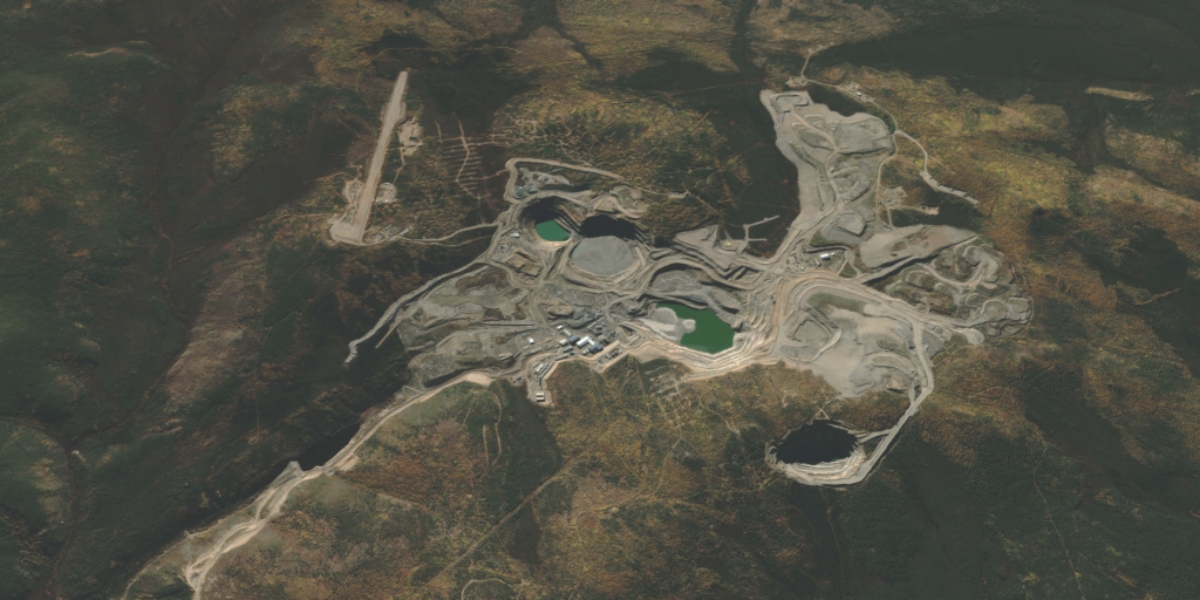
In November 2022, Gladiator Metals, a mineral exploration company, acquired the Whitehorse Copper Project, a series of 314 claims spread throughout 5,380 hectares within the Whitehorse Mining District. The company’s claims stretch along the south and western shoulder-side of Whitehorse, from Cowley Creek, through Chasàn Chùa (McIntyre Creek), all the way to Crestview, falling within the historic Whitehorse Copper Belt, which was first discovered in 1897 and actively mined mostly between 1967 and 1982.
Copper minerals in stone. Photo by Stephanie Woods.
Sandy and Randi navigating at a site. Photo by Stephanie Woods.
Mining claim. Photo by Adil Darvesh.
Zoomed Whitehorse Copper Belt map. Created by Yukon government.
The southernmost claims are located close to the Cowley Creek neighbourhood and encroach on the neighbouring forests and beloved trails.
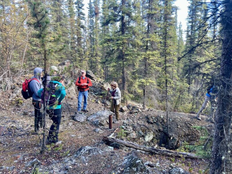
A long-time Yukoner and member of our board here at CPAWS Yukon, Sandy has a powerful depth of knowledge and genuine concern for the places within and adjacent to Whitehorse that are threatened by continued mining exploration. From our perspective, and that of many others within his community, Sandy is an active steward of this area he has come to know intimately, and his family has grown deep roots within its soil. On this day, Sandy rounded up some of our team–Adil Darvesh, Randi Newton, and myself–on a crisp early autumn morning to show us exactly what’s at stake.
We rumbled down the rough road, yellowing aspens and poplars shimmering in the distance, towards the first site we wanted to visit–Black Cub South. Black Cub South (locally known as the “Big Quarry”) is a former mining pit and now a current exploration target three kilometres west of the Cowley Creek neighbourhood. It is one of thirty-one historical mining turned current exploration sites through the project, each of which is known by its historical Whitehorse Copper Belt name.
A pit first mined in 1971 that has since filled with water and reflected a vibrant blue met us at the site. The colouration is likely due to copper carbonates released from previous mining. Black Cub South had clear signs of being used as a recreational site with a year-round trail network. A male bufflehead treaded gracefully through the water. Fireweed, wild rose, buffalo berry, and small bog cranberry lined the edges of the pit and neighbouring forest, revealing the native forest understory. Next, we traveled to Keewanaw (known locally as the “Small Quarry”), another old site last operational in 1971 and now a target for Gladiator Metals, where we walked the trails of mining past, seeing an old mining pit left and filled in with water, large areas of land cleared, and skeletons of machinery left behind. We listened to the rushing of water traveling over cobbles and the soothing sound of Wolf Creek, adjacent to the pit along the side of a rock road used for incoming and outgoing traffic.
Drone view of Cowley Creek and its surrounding wetlands. Photo by Adil Darvesh.
Old mining pit at Keewanaw. Photo by Stephanie Woods.
Keewanaw. Photo by Stephanie Woods.
From there, we headed north to our final site of the day, Arctic Chief. The most disturbed site we had seen yet—Arctic Chief hosted a large open pit peppered with scrap metals, an old car, and garbage. Vegetation was sparse here as we overlooked the city limits. We had become quieter as the afternoon went on and we absorbed the emotional impact of what mining so close to town would mean, in a stressed ecosystem that hasn’t yet had enough time to recover.
Deep thinking overlooking the pit. Photo by Stephanie Woods.
The Arctic Chief, a landscape shaped by waste rock. Photo by Randi Newton.
Sandy, Randy and Stephanie at the Arctic Chief site. Photo by Adil Darvesh.
There’s a delicate balance to be had between ecosystem recovery and community access to these environments, providing places not only to walk, relax, and play, but also to harvest traditional medicinal plants and foods, like yarrow, cranberries, and rosehips. This balance would quickly be lost with continued mineral exploration or resumed mining activities.
Mining exploration would bring in large and loud machinery, the noise of which has been well-documented to impact wildlife and the way they use disturbed areas. Exploration activities at Black Cub South will further fragment the remaining forests and vegetation not already impacted by the firebreak, and can have long-lasting impacts to water quality on the surface and in the groundwater system. Speaking for myself, it’s hard to envision further mining exploration in an area that is clearly trying to recover, an area that is important to so many: humans, animals, and plants alike.
There’s a tendency for people, companies, and governments to look at a place like Black Cub South and undervalue it because it isn’t ‘pristine’ anymore—it’s already been disturbed by industrial and human activities, so what’s the harm in a little more? This perspective not only undervalues the ecological and community value of recovering environments but is also a slippery slope, says Sandy.
“Steamrolling ahead once an ecosystem is already disturbed can act as a gateway for further environmental destruction” – Sandy Johnston
Personally, after working for parks and protected spaces around human settlements at both the municipal and federal levels, I’ve seen this first hand: healthy ecosystems degraded from overuse and development leading to severe habitat fragmentation–and sadly, very sadly in some cases, the complete loss of an ecosystem. Stressed ecosystems on the borders of large urban centers do not need more ground disturbance, noisy machinery, human traffic, vegetation loss, or water contamination—they need protection, restoration, and stewardship to recover.
Further mining exploration and potential future activity around the city’s perimeter will further stress these locally treasured places. Gladiator Metals has already recommenced drilling activities at the Cowley Park target by late September. They have most recently been issued a Class I exploration permit for diamond drilling on some of their claims within city limits. As concerned citizens and local residents, your voices are important. Join the Citizens Concerned about the Copperbelt Facebook group, a space that brings the community together to share concerns and stories, ask questions, and learn more. We will continue to keep our ears to the ground, support community members, and advocate for the health of shared landscapes, wildlife, medicinal plants, and sacred water.
Written by Laurence Fox, Campaigns Coordinator | October 25, 2023 A shortened version of this post appeared in the Wednesday, October 18th, 2023 edition of the Yukon News.
The cancellation of the remaining leases in the Arctic National Wildlife Refuge this past September was, and is, wonderful news for the Porcupine Caribou, the Gwich’in which have worked tirelessly to protect them, and everyone who loves, cares for, and wants to preserve wild places.
What comes next, though, for the Arctic Refuge?
Honestly? That’s hard to say. It’s a complicated process, legally and politically speaking. Where we’re at with the Arctic Refuge is largely contained within an 800-plus page report written in a mix of industrial mining jargon, data sets, and legally-nebulous bureaucratese that the average person needs a pot of black coffee and a thermal lance to break into, which certainly doesn’t make understanding things any easier. Having spent the last three weeks up to my eyeballs in this report I can tell you, however, that the nuts and bolts of the situation is this:
If you care about the Porcupine Caribou, wildlife conservation, climate change, First Nation rights and sovereignty, Canadian-American relations, the fundamental principles of democracy, or any combination thereof you should be paying attention to this.
Photo by Peter Mather.
Here’s why:
Way back in 2017, the Trump Administration passed the Tax Cuts and Jobs Act, which, as the name implies, was mostly about cutting taxes and creating jobs in the name of incentivizing economic growth. As you would quite reasonably expect, cutting taxes means less money for government spending, and the Tax Act was expected to cost around US$1.9 trillion, or about the same as the total GDP of Canada for the same year.
To help offset the upfront costs of this, the Trump Administration slapped a rider on the tail end of the Tax Act (page 182 of 185, specifically) authorizing the sale of oil and gas leases in the “1002 Area” of the Coastal Plains within the Arctic National Wildlife Refuge–around 1.5 million acres of sea-swept, mountain-rimmed Northern wilderness which also happens to contain the calving grounds of the Porcupine Caribou Herd, sacred to the Gwich’in.
To make these lease sales happen, however, the legislation which governs the Arctic Refuge, had to be altered. Prior to 2017, the Arctic Refuge had four express purposes: to conserve animals and plants in their natural diversity, to ensure a place for subsistence hunting and gathering activities, to protect water quality and quantity, and to fulfill international wildlife treaty obligations. When it passed the Tax Cuts and Jobs Act, the Trump Administration added a fifth; to “provide for an oil and gas leasing program within the Coastal Plain.”
The Act also directs the Secretary of the Interior to “establish and administer a competitive oil and gas program for the leasing, development, production, and transportation of oil and gas in and from the Coastal Plains,” making it a legal obligation to ensure lease sales happen.
What that means is that the Tax Cuts and Jobs Act makes oil and gas leasing an express, legal purpose of the refuge, regardless of who the President or the Secretary of Interior is. To this end, it specifies not only how much of the area must be put up for oil and gas leasing– a minimum of 400,000 acres, or an area about the size of Tombstone Territorial Park–but also requires no less than two leasing sales be held, the second of which must be held no later than December 2024.
In other words, the U.S. government unilaterally decided to not only start an oil and gas leasing program in the middle of a wildlife refuge, a move in direct conflict with the original intentions of the Arctic Refuge, smack dab in the middle of the Porcupine Caribou Herd’s calving grounds, but made it illegal not to do so.
Under American law, when something like oil and gas leasing in the Arctic Refuge is proposed, it triggers the need for an Environmental Impact Statement (EIS). An EIS assesses the potential impacts of a project on both people and the environment and then makes recommendations about whether or not that project should proceed, and with what mitigations in place. Moreover, the government agency proposing the project is in charge of compiling the EIS and deciding if what it wants to do is okay after the EIS is complete. Although all projects have to work within Federal, state, and local environmental laws, it’s up to the agency–in this case, the Bureau of Land Management (BLM)– to determine their application within its EIS.
An EIS is supposed to look at all the potential environmental and human costs and benefits of a project, design ‘alternatives’–imaginary scenarios used to create baseline expectations about how a project might impact an area under differing development situations–consult scientists, experts and the community about those situations, and then make a decision based on those alternatives and the feedback around them. In this case, however, the administration wasn’t looking at whether or not the leases should be issued, but under what conditions they would be issued.
The Trump Administration had made it a foregone conclusion that those leases had to be offered up for sale, whether anyone wanted them to be sold (or wanted to buy them) or not.
If this sounds a bit like telling students to turn in their homework, grade their own assignments, and then decide if they’ve passed or failed the course, that’s only because it is– and that’s exactly what happened with the initial EIS issued in 2019 under the Trump Administration.
The 2019 EIS ultimately recommended all 1.5 million acres of the Coastal Plains be put up for leasing, with the fewest restrictions and the most aggressive development options possible. Most of the recently canceled leases–there were seven of them, all held by the State of Alaska, a handful and a half of the 11 sold in early 2021–were all issued under the original EIS. That EIS was, as you would expect, found to be so legally, methodically, and scientifically flawed that the Biden Administration ordered the whole thing binned like Tuesday’s tuna sandwich on a Friday afternoon.
One of the first things incoming-President Joe Biden did in 2021 was throw a hold on all development in the Arctic Refuge and order a Supplementary Environmental Impact Statement (SEIS) be undertaken. This SEIS restarted the consultation process–if not from square one then from square two or three–which technically makes it a mulligan more than a “supplement.”
This brings us to where we are now, being asked to comment a second time on an environmental assessment which is inherently flawed because it legally has to conclude that leasing in the Arctic Refuge will take place.
Okay… so now what?
The bad news is that there’s no way to stop the lease sale–no matter what happens, they are going to put a minimum of 400,000 acres up for potential development. The law says they have to. The only way to stop it would be to change the law, and the political will doesn’t exist for that in Washington.
The good news is while it’s not perfect, this EIS is still better than the original, and offers better alternatives with more restrictions on development. Of the three alternative development scenarios being practically considered by BLM, one (almost) fully protects the Porcupine Caribou Herd’s calving grounds from development.
Moreover lease sales are not the same thing as development in the Arctic Refuge. They don’t just get a piece of paper that says “sure, go ahead and drill here” and start building oil wells the next day–they may buy a lease and never develop it. Likewise, when the first leases were made available, it was with the fewest possible restrictions on development, and even then the industry found them about as appetizing as a wet bologna sandwich and made very few bids. Just because leases are made available doesn’t mean anyone is actually going to buy them. The ultimate hope is that decision makers will choose the most restrictive scenario that best protects the Porcupine Caribou Herd and all the other treasures of refuge, a scenario that is at odds with making developing the Arctic Refuge a good business choice.
This is all… frustrating at best, but the fight isn’t over. There’s still time for action. For one thing, you can actually go and comment on the SEIS. Tell the U.S. government you won’t accept any development in the Arctic Refuge. You can pop over to the CPAWS Yukon website and sign our campaign letter, or you can write your own.
Photo by Ken Madsen.
You can also support the Arctic Refuge and the Porcupine Caribou by talking about the Arctic Refuge; share a post, tell your friends, tweet about it.
A bunch of rich people want to roll into what’s ostensibly a wildlife refuge and start putting holes in the ground where the Porcupine Caribou raise their babies so they can slurp up oil and gas and walk away a little bit richer than they were before.
Does that seem right to you? Does that seem like something that’s good? Do you think it’s possible to have a wildlife refuge remain a refuge if you turn it into an oilfield?
I don’t think that’s even remotely possible, I don’t think that’s right and I don’t think that’s good.
If you don’t either, then say something. The Arctic Refuge needs you too.
Written by Joti Overduin, Outreach Manager | September 29, 2023
The National Day of Truth and Reconciliation is nearing. My thoughts about what it means are rising and falling to the sound of waves, and the smell of the Pacific rainforest – from Tla-o-qui-aht lands and waters, or ha-houlth-ee in the Nuu-chah-nulth language. Most folks are familiar with this area as Tofino, or Clayquot Sound.
The reason that this area has clean waters and healthy rainforests is because of the vision, courage, and determination of the Tla-o-qui-aht First Nation. Almost 40 years ago they declared the first Tribal Park in Canada – Wah-nuh-jus – Hilth-hoo-is, (Meares Island), after it was slated for clear cutting in the 70’s. Because of this declaration, and the years of work that came after, the trees that the Tla-o-qui-aht people have lived alongside, and in deep relationship with long before colonization, are still standing.
I have been able to spend time in this place during this important week of reflection, learning with the Iisaak Olam Foundation at the Clayoquot Campus about Indigenous Protected and Conserved Areas. While here I have had the opportunity to listen and learn from Elders and other Tla-o-qui-aht members, whose lives have been and still are intertwined with the creation of that first Tribal Park in 1984.
In speaking with people here, Elders and others, the impacts of Residential Schools and the other destructive strategies in the Indian Act, a piece of Canadian law meant to control and eradicate Indigenous cultures, continue to be felt deeply by all. Here, and on that same island was where The Christie Residential School was built and run 1900.
At a very young age, children were taken away from their families to attend the school, where they would be treated as less than human, neglected, and even abused. Many died there. The school only officially stopped operating in 1983 – the longest in BC, and only one year prior to the declaration of Wah-nuh-jus – Hilth-hoo-is, Meares Island Tribal Park.
When listening to the Elders and others here, and back home in the Yukon, what is clear is that true Reconciliation is more than a one-day event. While having a national day of recognition is important, it’s only a very small part of the dramatic shifts and changes needed for Reconciliation to have meaning.
Governments have been inconsistent, slow and sometimes outright resistant or obstructive when it comes to taking the deep and meaningful actions and policy changes that would truly support meaningful healing and reconciliation for the harms done, and continue to unfold.
TheTruth and Reconciliation Commission Report states: “Reconciliation is about establishing and maintaining a mutually respectful relationship between Aboriginal and non-Aboriginal peoples in this country. In order for that to happen, there has to be awareness of the past, an acknowledgement of the harm that has been inflicted, atonement for the causes and action to change behaviour”.
For those of us who are not Indigenous, guests on the lands we live and work in, we can wear an orange shirt, or read an article to learn more about the heart-breaking truths of residential schools. These are important parts of the journey, to see the invisible constructs and harmful worldviews that we live in and amongst.
We also need to understand that our Indigenous hosts and friends live orange shirt day every single day. One important lesson I’ve heard from many different teachers and cultures, is that none of us are separate. We are all connected, and what harms some of us, harms all of us.
Indigenous cultures and teaching recognize this interconnectedness, and have for time immemorial. As we all face the insurmountable crises of climate change, and biodiversity loss, it’s Indigenous peoples that have the knowledge, wisdom and relationships with the natural world we are also a part of that could lead us back from the brink of destruction. Reconciliation doesn’t end with Indigenous peoples, it also needs to happen with the rest of the planet that is being harmed. It’s no coincidence that these are linked.
While this may seem like a challenging path, or one that needs a path to follow, there has already been much work done, like the recommendations from the Indigenous Circle of Experts. Despite governments not always moving fast or steady enough when Indigenous groups give clear recommendations, organizations like CPAWS Yukon and individual Canadians can all help move this work forward. We can support Indigenous Nations in both Reconciliation and Indigenous-led conservation and land guardian initiatives.
If you don’t know already, learn the history of which Indigenous Nations’ homelands you are living and working in, and always include that when you tell others about where you live. Get curious about the people who took care of the land on which you live and what initiatives these Nations are currently pursuing. A simple place to start for a national context is by reading the first two pages of We Rise Together. Open your heart to being comfortable with being uncomfortable, and recognize we need to understand our past to know not only our present, but also a path forward.
Whitehorse, Yukon – Chasàn Chùa, also known as McIntyre Creek, is a wildlife corridor in the midst of Whitehorse that connects wild spaces to the east and west of the City. There is pressure for more housing and road development in and around the creek, yet limited scientific data to inform decisions about the future of Chasàn Chùa.
This prompted CPAWS Yukon to research the impacts of housing and roads on wildlife within the area. In 2021, we surveyed wildlife distribution and habitat use at Chasàn Chùa. We recorded dozens of different bird and mammal species across the area, including Olive-sided Flycatchers, Wilson’s Snipes, Canada lynx, and moose. Our remote cameras, acoustic recorders, and winter track surveys gave us a snapshot of a bustling ecological community with an intricate web of interactions and relationships.
We found that wildlife thrived throughout the area, but housing and road developments impacted each species differently. For example, moose avoided the most developed parts of the creek. When moose did visit heavily populated areas it was primarily at night. We only observed species at risk like grizzly bears, Lesser Yellowlegs and Rusty Blackbirds in the most remote areas of Chasàn Chùa, while red foxes and mule deer preferred areas with higher levels of human development. Each species that inhabits Chasàn Chùa experiences human disturbances in a different way. These findings and more are detailed in Coexistence and Caution: tradeoffs faced by wildlife in Chasàn Chùa (McIntyre Creek), Yukon, and our data can be found at cpawsyukon.org/chasan-chua-data/.
This report compiles the data collected over the summer of 2021 and interpreted with the help of biologists and ecologists. It provides the framework for key recommendations that we hope supports planners and policy makers to make informed decisions about the area. Rather than taking a singular approach to stewarding the creek and its wildlife, planners should account for the complex responses that different species have to human developments.
While the City of Whitehorse has committed to establishing Chasàn Chùa/McIntyre Creek park in partnership with Kwanlin Dün First Nation, Ta’an Kwӓch’ӓn Council, Yukon University, and the Government of Yukon, there are still threats that could affect the area before formal protections are in place. Proposed mineral exploration work by Gladiator Metals Corp is the most immediate threat, but future road and housing developments could also impact the area and the wildlife that call it home.
Our five key recommendations are:
Avoid further development in Chasàn Chùa until park planning is finished.
Maintain habitat connectivity between Chasàn Chùa and surrounding wild spaces.
Accommodate the needs of wildlife in future transportation plans, and include safety precautions for wildlife and people.
Maintain the integrity of wetlands along the creek, and preserve the terrestrial and hydrological connections among them.
Safeguard the future of Chasàn Chùa through careful management planning.
“When we started going through the data, I was impressed by the number of species we were detecting, and amazed at the number of newborn animals we were seeing…it quickly became obvious to me that Chasan Chua is still an important home for all sorts of wildlife” says CPAWS Yukon Conservation Coordinator, Maegan Elliott.
Leases Have Been Canceled In The Arctic Refuge–Now What?
The Announcement Is Great News For The Refuge–But The Fight Is Far From Over
Written by Laurence Fox, Campaigns Coordinator | September 25, 2023
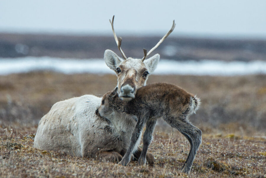
On September 6, the Biden Administration canceled the seven remaining– and much-contested– oil and gas leases within the Arctic National Wildlife Refuge, home to the calving grounds of the Porcupine caribou herd.
Undeniably, this is a huge win not only for the Arctic Refuge itself, but for Gwich’in on both sides of the border, their conservation allies, and the thousands of animals–caribou, polar bears, Arctic foxes and 200-some species of migratory birds, to name a few—which breed, feed, and live on the coastal plains. It’s the strongest move towards protection for the Arctic Refuge–and the Porcupine caribou– since the Trump Administration first announced it was reopening the region to oil and gas extraction in 2017.
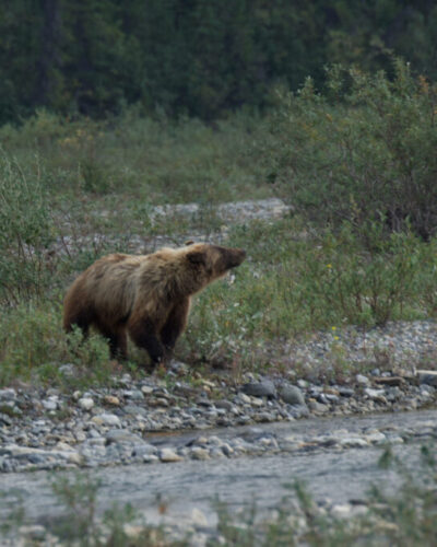
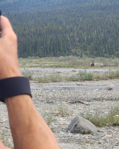
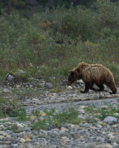
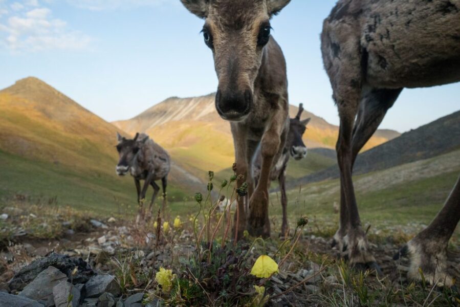
Wildlife of the Arctic Refuge. Photos by Malkolm Boothroyd.
So. What does that mean?
It means celebrations are in order, along with gratitude for the decision, the political will behind it, and the tireless advocacy spearheaded by the Gwich’in Steering Committee, which made it possible.
It also means that, although we may have won this particular battle, the work is far from over.
The fight to protect the Arctic National Wildlife Refuge has been long, fraught, and complicated. What we need to understand right now is that just because these leases have been repealed does not mean the Arctic Refuge is protected – it just means these specific leases in these particular places are no longer on the table at this time, with the previously agreed upon buyers.
The Tax Cuts and Jobs Act signed into action by the Trump Administration in 2017 not only mandated the sale of the oil and gas leases within the 1002 area of the Arctic Refuge–smack dab in the heart of the calving grounds of the Porcupine caribou herd–but requires the Secretary of the U.S. Department of the Interior to “establish and administer a competitive oil and gas program for the leasing, development, production, and transportation of oil and gas in and from” the region. The Act also requires that no less than two lease sales be held. As long as the Tax Cuts and Jobs Act is in effect, those sales must take place. The Department of the Interior is obligated to hold them.
What that really means is that, unless something dramatically changes–and fast– it’s not a matter of if another lease sale will be held, but when.
Once we’ve all taken a breather, the next matter to turn our attention to is the Supplementary Environmental Impact Statement (SEIS), which was mandated to address the noted flaws and blatant favouritism the previous Environmental Impact Statement showed towards oil and gas development. The report will help determine where, when, and how aggressively drilling for oil in the Arctic Refuge will take place, and heavily impact the number, type, and environmental oversights in place on the next round of leases.
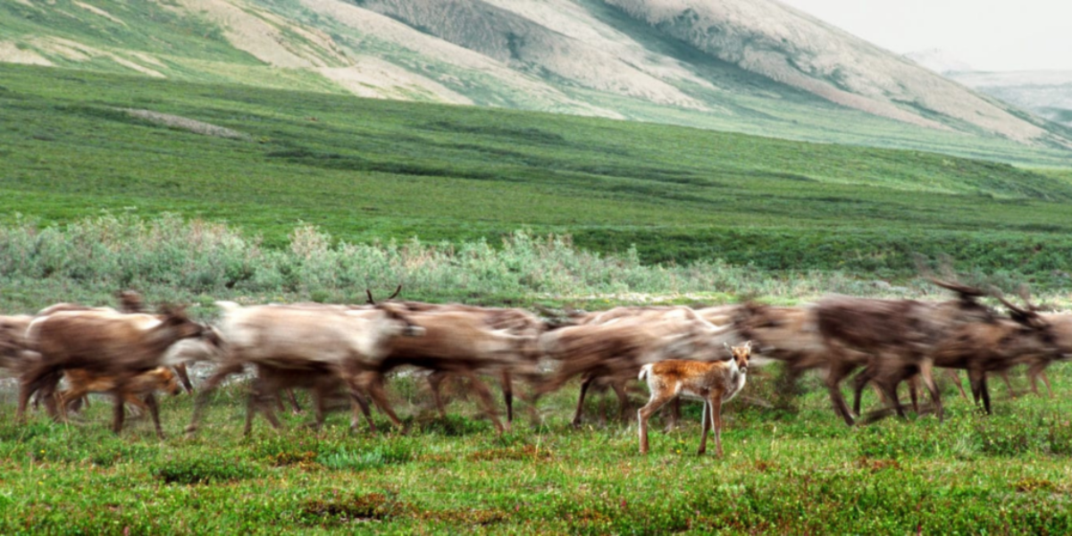
Porcupine caribou herd. Photo by Peter Mather.
In the coming weeks, we at CPAWS are going to be diving deep into the SEIS to understand what, exactly, this second round of environmental assessments has found–and if it’s any more sound than the original. Please be patient with us while we do this, because at nearly 700 pages, this report is huge (and that’s just Volume One). Sign up for our newsletter to stay updated.
Repealing these leases is a win in that it rights a wrong; realistically, however, we’ve simply broken even. Our own complacency is the strongest weapon that those who would see the Arctic Refuge torn up and exploited for oil and gas extraction in the name of profit have to wield against its would-be protectors. To make real gains, we need to do more than hold our position–we need to push back against the front lines. If we learned anything from the decades-long battle to protect the Peel Watershed, it’s that until we have legislation that fully, permanently, and legally protects the Arctic National Wildlife Refuge from oil and gas extraction now and into the future, we’re not done fighting.
The lease cancellation is a welcome gift–one that could become a Trojan horse, however, if we don’t continue to work together to see the Arctic Refuge permanently protected from oil and gas extraction.